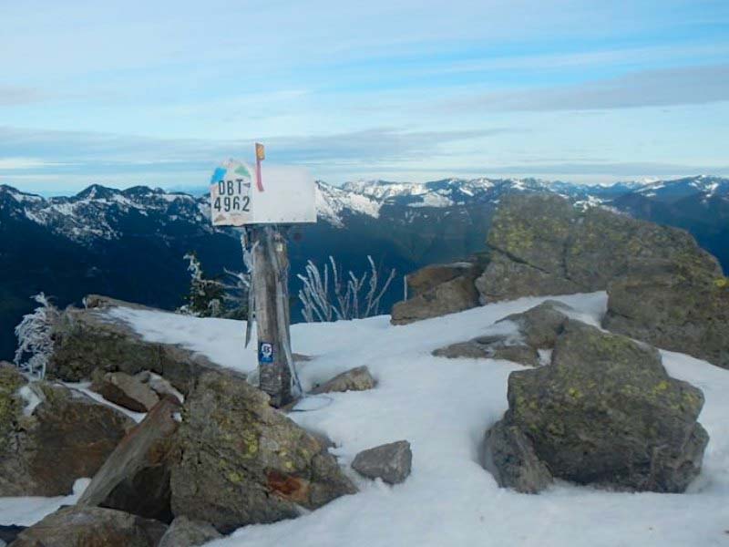
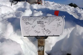
Summit register page
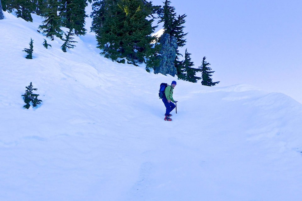
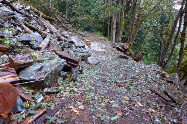
Despite a steep indistinct trail and 4000 feet of gain, Mailbox Peak has become one of the most popular day hikes in the central Cascades. On Sunday, June 30, 2013 over 100 hikers signed the summit register and many who hike the peak regularly don’t bother with that formality. The Day Hiking Snoqualmie Region guide book leads with “Wimpy hikers, turn the page. This trail offers nothing for you but pain and heartbreak”, and yet thousands each year test themselves.
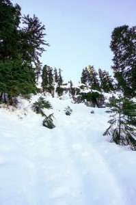
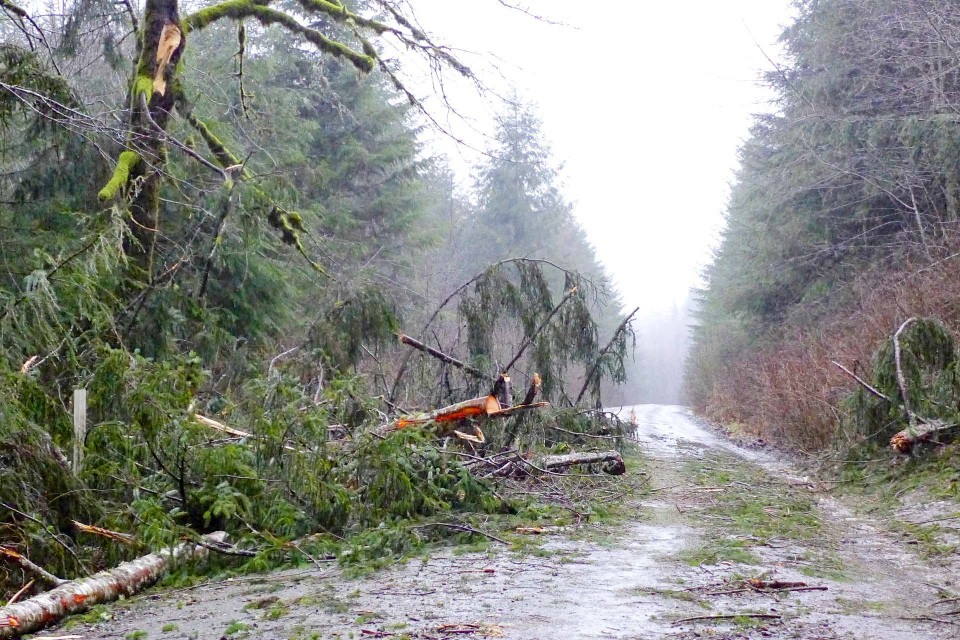
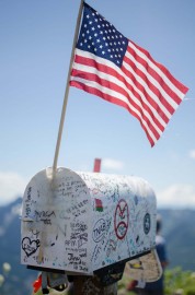
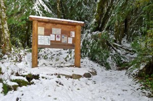
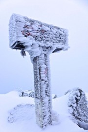
Mailbox, February 2013
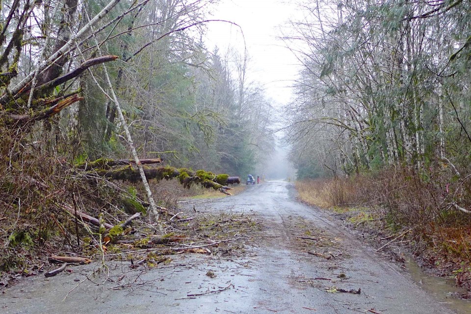
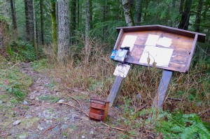
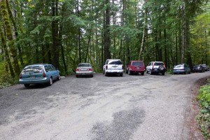
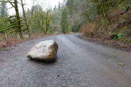
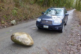
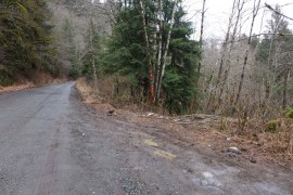
Mailbox, November 2013
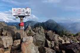
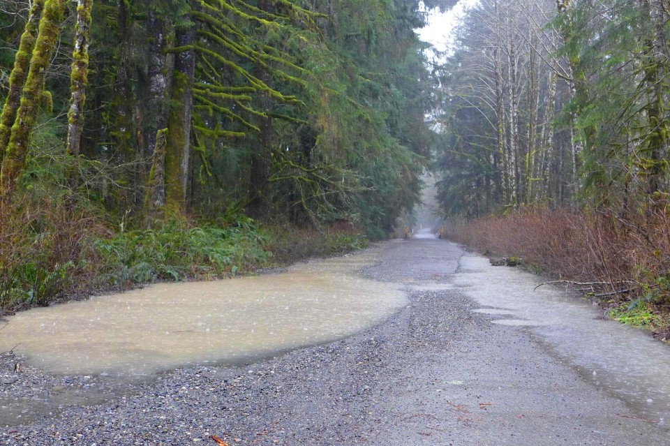
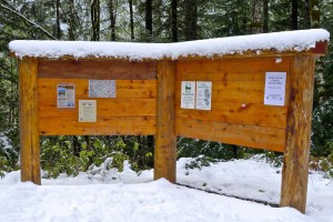
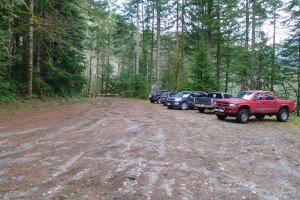
Mailbox, September 2013
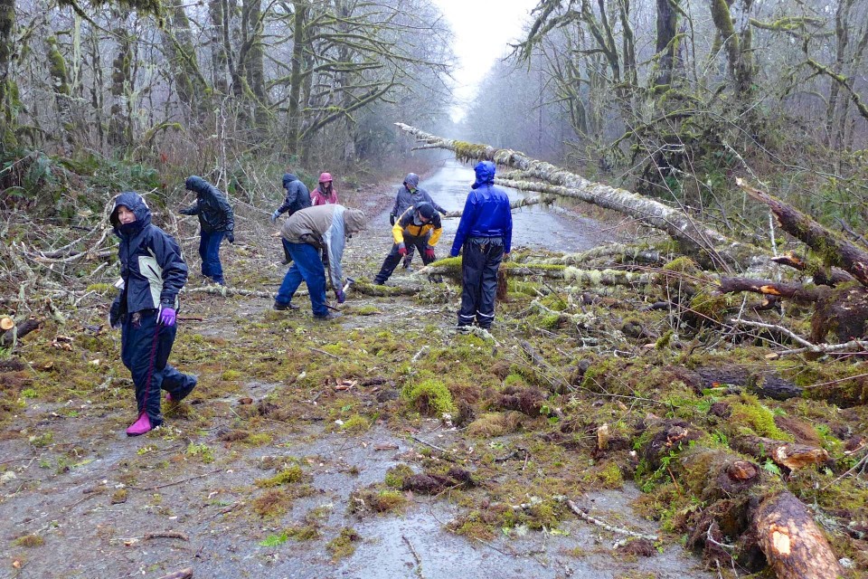
Unfortunately some come unprepared, get lost, start too late, or suffer an unfortunate slip and can’t get down before dark or on their own power and that happened a lot in 2013. Stranded hikers enjoy good cell phone coverage on this trail so they generally call 911 and get routed to the King County sheriff’s office who coordinates with
Seattle Mountain Rescue to respond. Even if the hikers don’t know exactly where they are, SMR is able to triangulate an approximate location based on cell tower timings. Their records list these missions, and you can bet that lots of others didn’t call them and limped down on their own. Reading these can be useful to help other parties plan better, use caution, and come prepared for a significant effort on a hard trail.
- April 15, 2013 – At 5:30 pm a hiker injured herself 1 1/2 miles up the trail and was carried down in a litter, reaching the trailhead at 11:30 pm. There was a mix of snow ice and slush on the trail which contributed to the injury and also made it difficult for the rescue team.
- May 3, 2013 – A women injured her ankle while descending and called for help at 5 pm from a spot 2 miles up the trail, then continued walking slowly down. She did not need to be carried and SMR members assisted her down the trail, arriving at 8:30 pm.
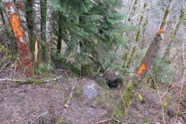
- June 30, 2013 – On a hot day an experienced hiker on a training hike was running down the trail following the white diamond trail markers. Then there were no diamonds. He continued down hoping to intersect the trail lower on the mountain, but he was on the south side heading for the Fire Training Center. There are some old trails on that side but they are faint and one could cross them without even noticing. He called for help at 6 pm and the SMR team was able to find him with the help of a GPS signal from his phone. Ironically, heading in the right direction they were able to make it down to the cars in only 11 minutes.
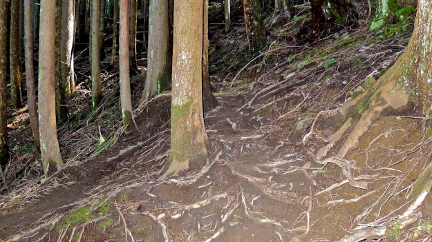
Where’s the trail?
- October 5, 2013 – Near dusk, a hiker lost the trail called for help at 7:38 pm. Triangulation placed him just below timberline and south of the trail. This is the hardest area to follow the “trail” because it splits into a myriad of paths down a wide area covered in ruts and roots. There are white diamonds but not that close together and it takes some effort to follow them. The hiker was instructed to respond when he heard the searcher’s voices or saw light. They reached him at 10:40 pm and got down just before midnight.
- October 6, 2013 – One day later a similar incident occurred. A lost hiker called near dusk at 7:39 pm and was reached by the rescue team at 9:07 pm. The location isn’t specified, but based on the time to descend it was likely near the same confusing spot as the day before. They were down to the parking at at 11:05 pm.
- October 26, 2013 – Two lost hikers called for help at 8:08 pm, probably after dark. Sadly, they were told by friends to hike Mailbox because it was an “easy beginner’s hike” and that made them think it was ok to start at 1:30 pm. Having lost the trail they ended up making a signal fire at about 1600′, which helped keep them warm and in good spirits. They were reached at 10:30 and got down an hour later.
- November 24, 2013 – A young couple Googled “Mailbox Washington” for their beta, but found it “was harder than it said!”. That’s a stretch because none of the first few results mince words about how difficult this trail is. They had no flashlights, lost the white diamonds, and ten minutes later called for help at 5:30 pm. Via multiple phone calls they were found at 7:13 and down in only 20 minutes. They didn’t realize the white diamonds are only present on the upper parts of the trail, and without a flashlight couldn’t easily follow the trail down.
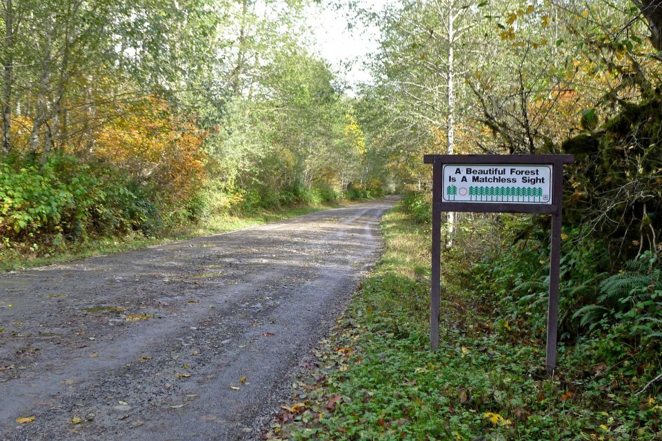
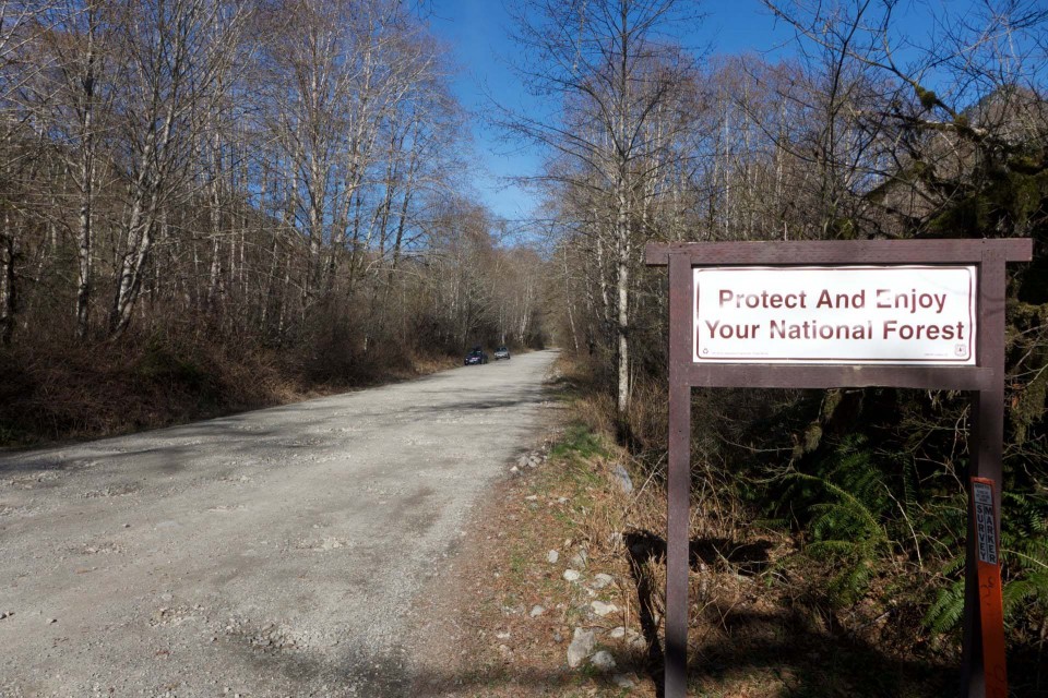
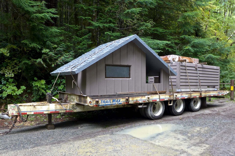
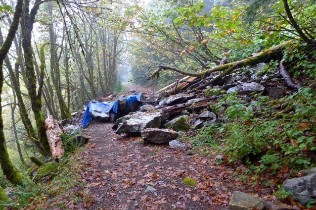
It’s pretty obvious why the DNR, the Sheriff and SMR put up the warning sign at the trailhead, installed the white diamonds, and put in railings at critical points along the trail to keep people on track. Even better will be the new trail currently being constructed by the DNR — look for that to be ready in the fall of 2014.
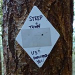
White diamond
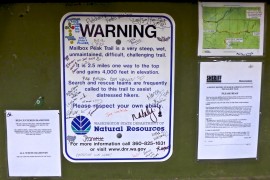
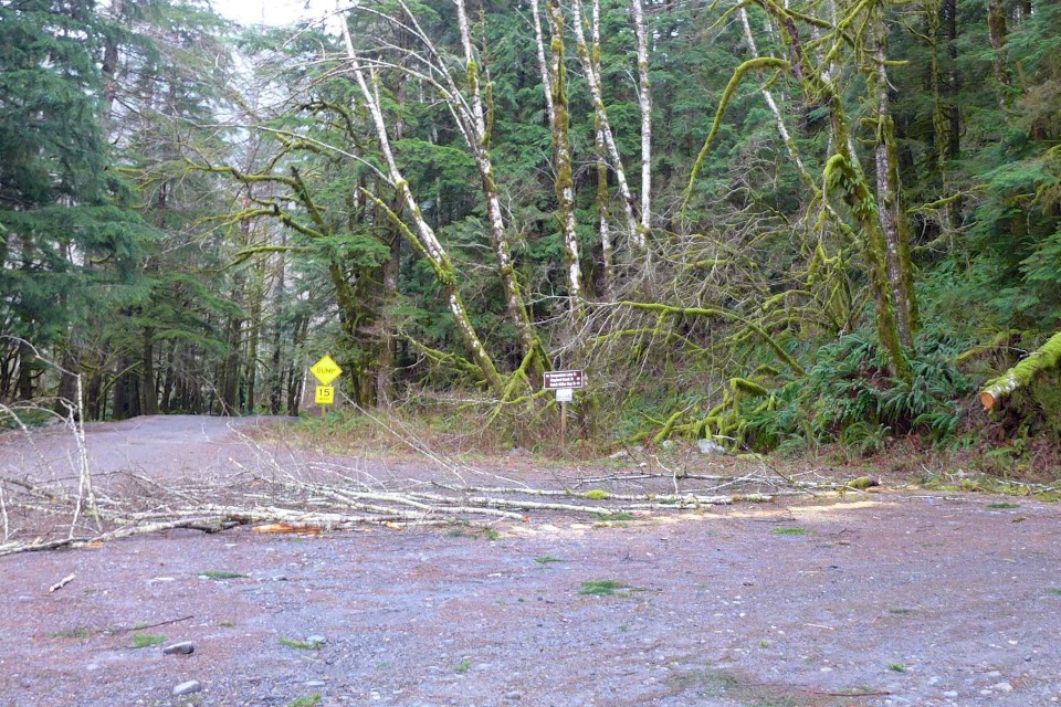
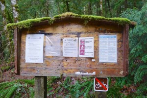
Trailhead warning
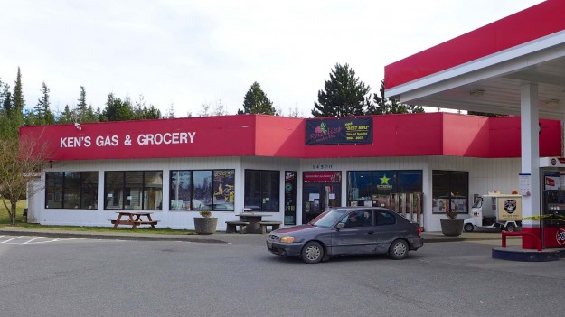
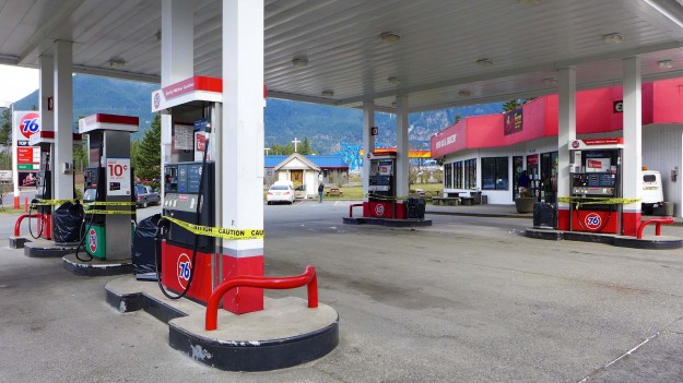
 A staple for hikers and rafters after a hard day in the Middle Fork is leaving. Rhodies has been housed at Ken’s Gas and Grocery at Exit 34 for many years, but as that business closes they are losing a home. Rhodies will most likely relocate somewhere near Exit 22 at Preston, 12 miles closer to Seattle.