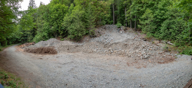
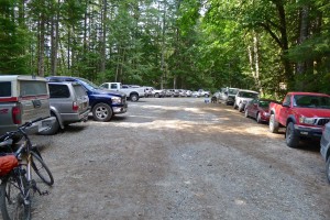
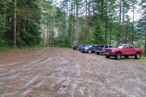
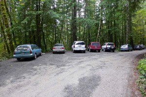
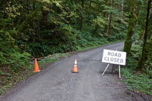
Five years after filing a plan to build a trailhead at the Dingford junction just past the Taylor River bridge the Forest Service began work on the new Garfield Ledges trailhead. It includes a two vault toilet, 4 parking pullouts, and eventually 14 picnic tables. This new trailhead also solves a problem that began in November 2015 when a series of floods washed out the 1/4 mile spur road to the Taylor trailhead leaving few parking spots for the popular hike to Lipsy Lake and Otter Falls. The washouts were too deep for most vehicles to drive through and eventually the road was blocked by barriers in November 2017 and continues to be. But at least there are plenty of parking spots now for all but the busiest weekends.
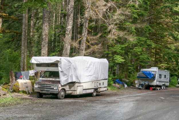
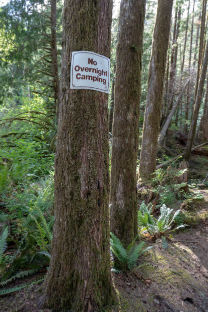
In the past this area just beyond the bridge was a very popular camping area with four dispersed camp sites along the Taylor river. Last summer a couple parties parked their RVs next to the sites and used them for at least the maximum 14 day stat. All of the sites have been converted to day use areas with picnic tables and it may come as a surprise when people drive up to use their traditional site and find out that camping is no longer allowed here.
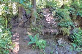
Simultaneously with the trailhead going in work resumed on the Garfield Ledges trail which starts to climb right behind the bathroom. Last year the last third of the trail was built by hand and now an excavator is being used to slowly carve out the trail beginning at the bottom.
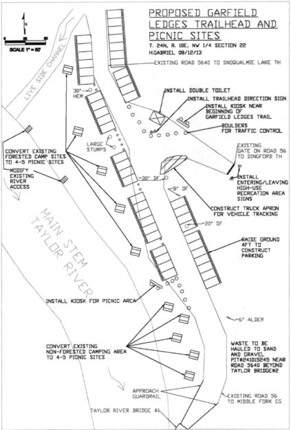
Early plans for the Garfield Ledges trailhead from the September 30, 2013 SOPA document for the Middle Fork Recreation Hub Project. It took 5 years for this to become a reality.
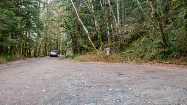
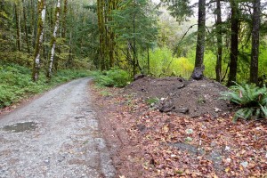
Dingford junction in December, 2017 before work began. The jersey barriers blocking the spur road to the Taylor River trailhead were installed in November, 2017.
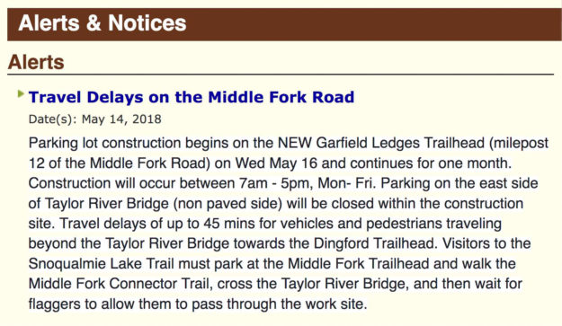
The USFS published an alert on their website about travel delays on May 14, 2018. Work began and May 16 and as promised was completed within about a month except for installation of the picnic tables.
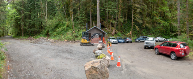
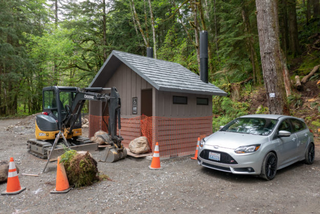
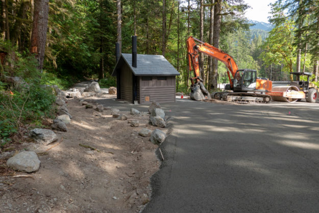
Work began in mid-May, 2018 with the first big change being the addition of a new two-stall bathroom.
View of new bathroom looking down valley toward the Taylor River bridge
New bathroom with big rocks blocking doors to prevent early access!
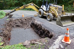
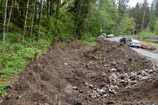
Creating a new parking pullout begins by digging a pit and filling it with gravel to ensure good drainage.
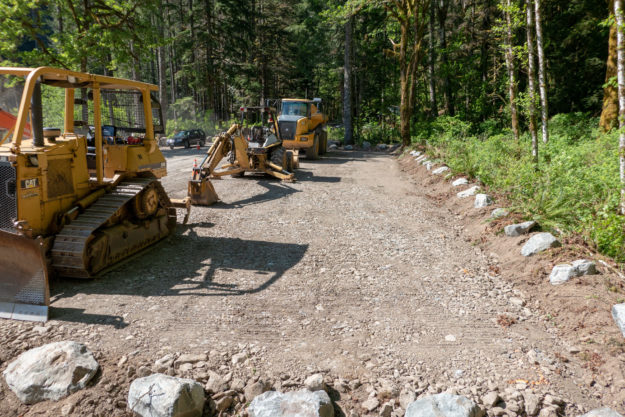
New parking pullout with new gravel drainage base
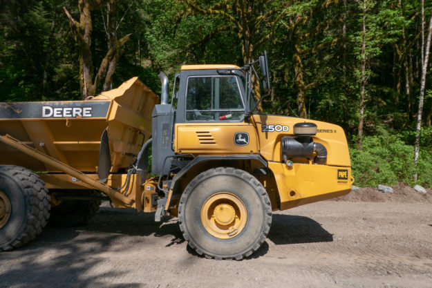
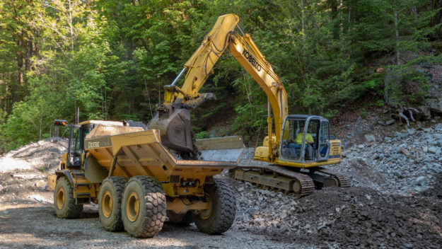
Big equipment used to haul gravel and debris up and down from the Hell Hill pit
Most of the larger gravel used for fill came from the pit at the top of Hell Hill
Hell Hill gravel pit usage is done for now and it was left somewhat cleaned up
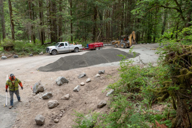
New surfacing gravel being trucked in for the top layer of the parking pullouts and picnic areas
Lots of new gravel is spread around as the project progresses
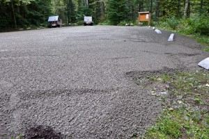
Picnic areas and parking pullouts get a top layer of gravel
The Dingford junction area just beyond the Taylor River bridge has been a popular area for dispersed camping for many years. Camping is no longer allowed in this area.
Two RVs set up for extended stays at the Dingford junction in June, 2017
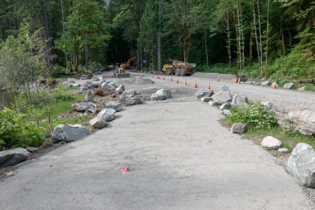
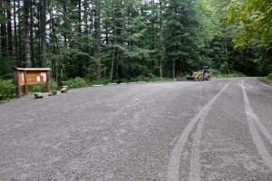
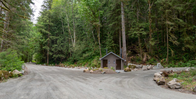
The completed project. The Taylor trailhead road to the left is still blocked. The road to the right climbs Hell Hill on the way to the Dingford trailhead.
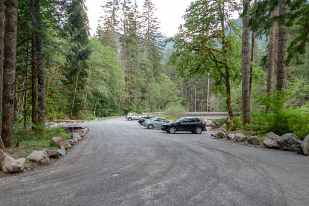
The completed project with many more parking spots than before
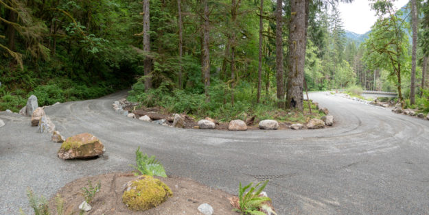
The turn in the road for climb up Hell Hill and after 6 miles of potholes, the Dingford trailhead. A new culvert was installed on the left to avoid persistent muddy ground in this area.
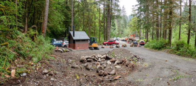
Hikers begin using the new trailhead for trips up the Taylor River trail
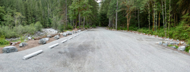
In October 2013 the Forest Service completed a badly needed upgrade to the Dingford Creek trailhead. When the Middle Fork road was permanently gated here in June 2007 the Dingford trailhead absorbed the users that previously drove farther up the road to Goldmyer Hot Springs or the Dutch Miller Gap trailhead, in addition to those heading up the Dingford Creek trail or down to the bridge over the Middle Fork river to the Middle Fork trail. On sunny summer weekends the parking was often maxed out, and without any restroom facilities the surrounding forest was becoming a smelly mess. Besides a new prefab Cascadian Vault Restroom the parking lot received a thick layer of gravel and concrete parking bumpers. The bumpers increase the capacity encouraging diagonal parking on both sides of the trailhead area.
Panorama of upgraded Dingford trailhead
This change did not come out of the blue. It was part of the Access and Travel Management decision 8 years ago in 2005.
The Decision: Dingford Creek Trailhead
In conjunction with the conversion of Road 5600 past Dingford Creek to trail/private road, sanitation facilities will be provided at the Dingford Creek Trailhead. Additionally, the current capacity of 10-12 cars, parking will be expanded to up to a maximum of 30 cars. Cutting and grubbing alder and brush that have encroached into the parking area and into the south shoulder of Road 5600 just prior to the trailhead will accomplish this. Once cleaned, the area will be graded to provide the expanded parking.
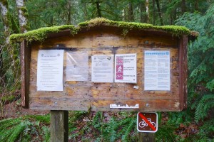
Mossy Dingford Creek trail signboard in January 2011
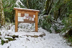
Updated Dingford Creek trail signboard in November 2011
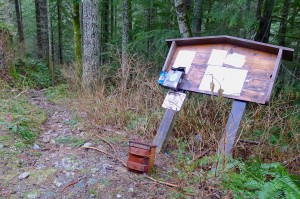
Dilapidated Dingford Bridge trail signboard as of January 2011
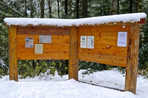
Updated Dingford Bridge trail signboard in November 2011
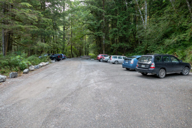
A busy Dingford trailhead with parking maxed out in September 2012
Dingford trailhead parking on a typical winter day before the upgrade
Temporary Dingford trailhead parking during trailhead upgrade
Temporary road closure for Dingford trailhead upgrade
Digging a pit for the badly needed Dingford trailhead restroom
The dirt from the toilet pit was trucked down the road and dumped by the gravel wash at the wash of Garfield’s Great Canyon
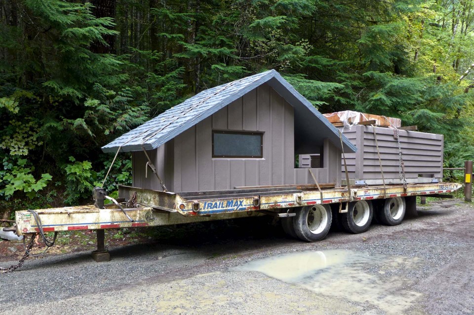
A new restroom in two pieces. The structure is constructed to look like wood, but is actually made of concrete
Many truckloads of gravel were brought in to resurface the parking area
Dingford trailhead upgrade with lots of new gravel
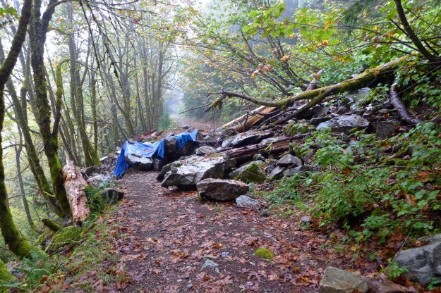
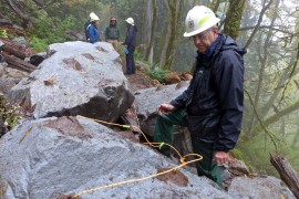
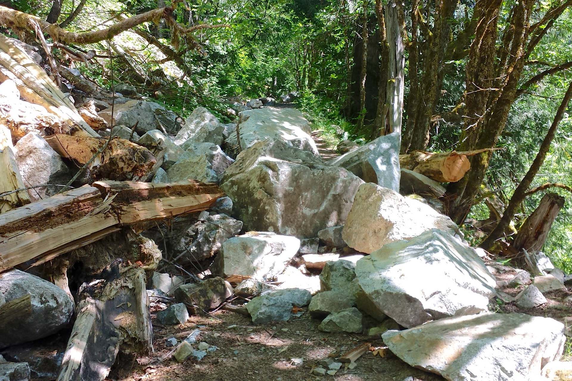
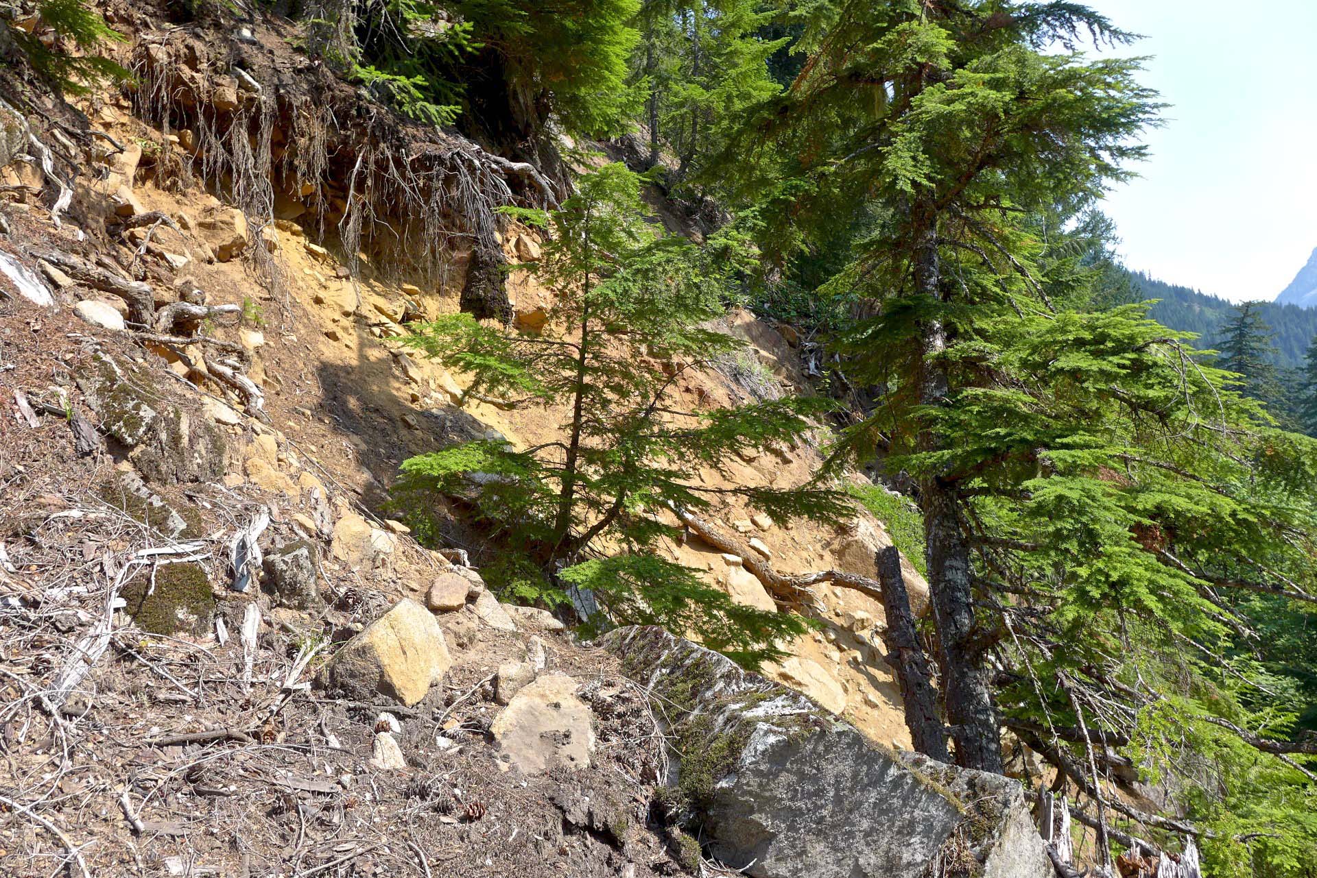
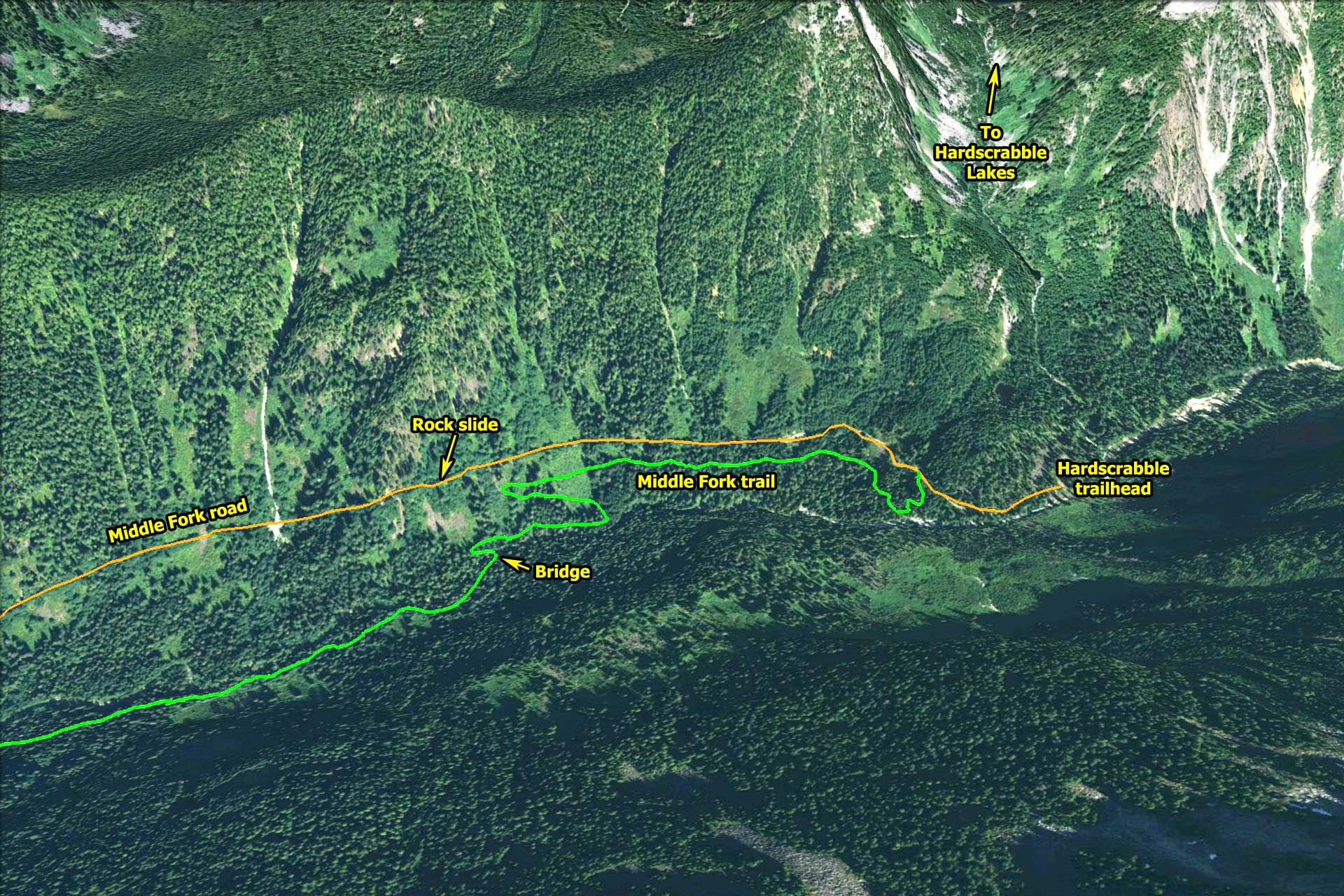
Sometime in the spring of 2013 a rock slide blocked the Middle Fork road about one mile before the Hardscrabble trailhead. As explained in the linked post, the USFS is committed to keeping a 40″ wide path open. So on September 18, 2013 a Forest Service crew spent a full day blasting the bigger rocks and rolling the smaller ones to clear the rock slide. This movie was made with two cameras mounted near the the blast site with additional audio edited in from the radios used to coordinate the closing of the trail for safety concerns.
Before. Tarps covered previously drilled holes drilled in large rocks
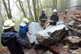
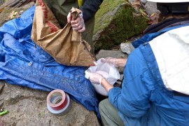
Placing explosives and packing mud
Packing mud over holes
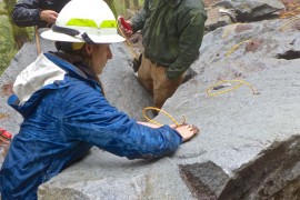
Attaching detonation cord
Pouring ANFO prills into garbage bags
ANFO/emulex charges sitting on top of smaller rocks
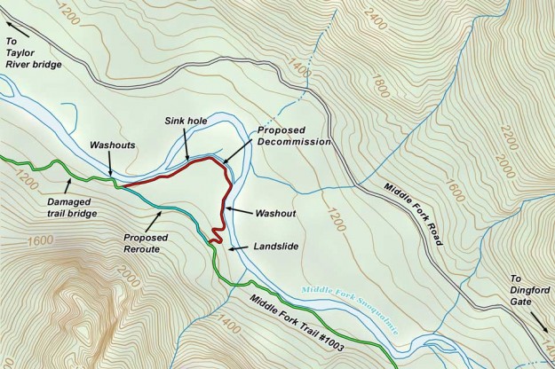
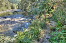
The Forest Service has proposed a minor reroute of the Middle Fork trail #1003 between the Taylor River and Dingford Creek. The reroute will avoid an area prone to washouts and landslides caused by normal channel migration of the Middle Fork river.
Washouts
Sink hole
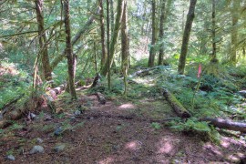
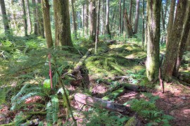
Flagged trail partially follows the old railroad grade
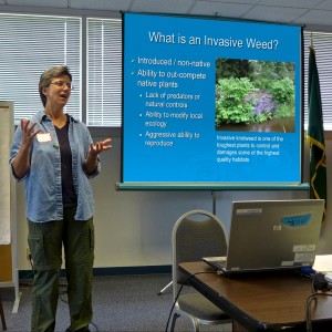
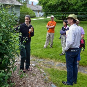
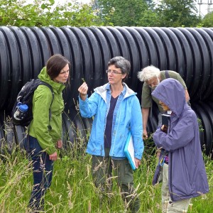
A room full of new and experienced weed watchers gathered at the North Bend ranger station on Sunday, June 23 for the annual King County noxious weed training program. The goal of this program is to train hikers to spot and report infestations of invasive species on public lands. Catching these areas early is key to preventing their spread, but there are far too many trails for the staff to monitor themselves. This year the Mountaineers joined forces, focusing on invasive species in Washington’s wilderness areas. For new comers, this training can be an overwhelming introduction because one weed looks pretty much the same as the next. However, by the end of the day everyone could probably distinguish a knotweed from a hawkweed. More information is available at the King County and Mountaineers weed watching sites.
Sasha Shaw, King County Noxious Weeds
The dreaded butteryfly bush
Sarah Callaghan points out an unusually large butterfly bush
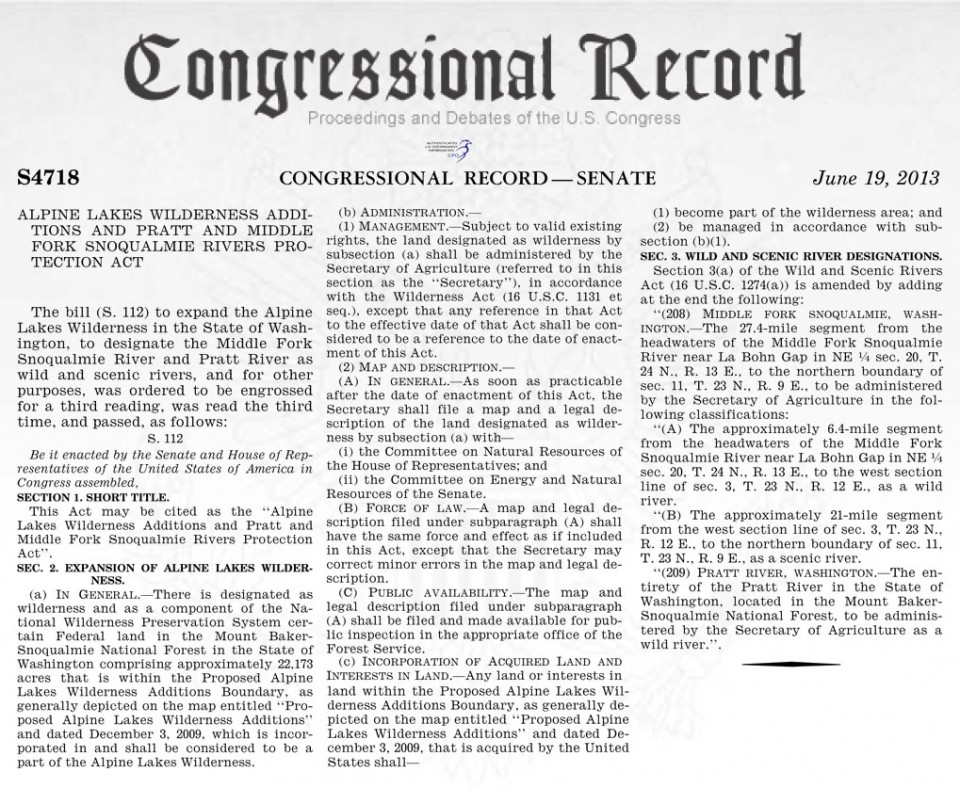
On June 19, 2013 the US Senate approved the Alpine Lakes Wilderness Additions and Pratt and Middle Fork Snoqualmie Rivers Protection Act, bringing it a step closer to becoming the law, but still requiring passage in the House. Before celebrating, it’s sobering to remember that we’ve been here before — in 2010 the 111th Congress passed the bill in the House, but not Senate. Then last year the bill did not come up for a vote in either branch of the 112th Congress. Originally introduced in 2007, there’s a chance that 2013 will finally see passage, bringing wilderness status to the lowland forests of the Pratt valley and increased protection for most of the Middle Fork river.
Alpine Lakes Wilderness additions passed by Senate
The Forest Service graded the remainder of the Middle Fork road to Dingford during the first week of April, 2013. What was probably the worst pothole season ever has come to an end.
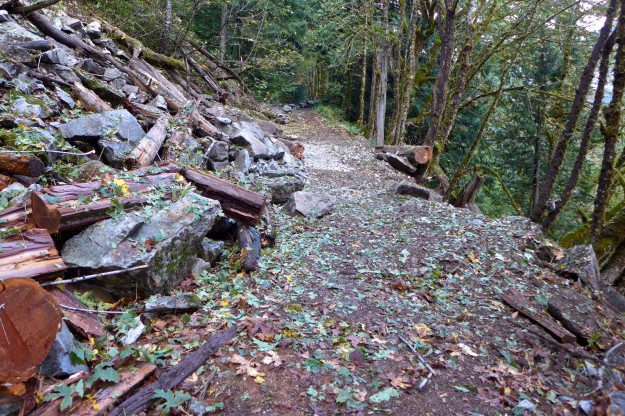
Some time this spring as the upper Middle Fork Valley melted out, tons of rocks fell from cliffs just over a mile from the Hardscrabble trailhead. A few of the rocks are too large to be pushed or winched off the road, so blasting is planned for sometime in the first half of August, 2013. Expect both the road and Middle Fork trail beyond Goldmyer to be closed. The trail passes directly under the rock slide site so hikers and bikers would be in the line of fire of huge boulders rolling down the side of the valley.
Under the 2005 Access and Travel Management plan, the Forest Service is “required to perform all maintenance required on the segment used as a National Forest System trail.” In this case that probably means clearing enough rocks for a 40″ wide passage. Some of the inholder’s mining claims are beyond the rock slide, so they may assist with the cost of clearing a wider path to maintain access for vehicles. This rock slide is several miles beyond the Goldmyer turn-off, so access to the hot springs is not affected.
Even a gate key won’t get you to the Hardscrabble trailhead. Photo by chiwakum@nwhikers.net
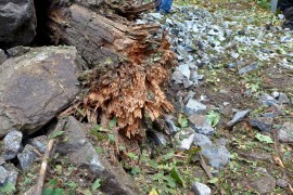
Possible origin of slide
Location of 2013 rock slide near Hardscrabble trailhead
From 2005 ATM plan (emphasis mine) — Access to Mining Claimants on Road 5600
Mining Claimants will be given a key to the Dingford Creek gate and granted motorized access to their mining claims.
They will not be required to perform maintenance, but will be allowed—at their choice and expense—to complete routine maintenance that will allow their continued motorized access. This will include cutting falling trees, removing rocks or brushing the private road/trail.
If other than routine maintenance will be needed for their continued motorized access, claimants will first propose the work to the Forest Service, via either a notice of intent or a plan of operations related to their mining claims.
Any work will be considered to be an integral part of their mining activity and will be process under the Forest Service’s mining regulations at 36 CFR 228, subpart A.
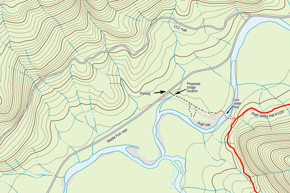
The Forest Service has proposed improved access to the Pratt river bar, including a new bridge across a creek and a toilet. Currently the trail to the river bar requires negotiating a few carefully balanced steps on logs spanning a small creek, then deciding which of several gravelly paths to follow to reach the river. In their words this project will “provide safe access to the Pratt Bar, by converting 1,100 ft. of closed non-system road to a USFS system trail. A 35-40 foot bridge would be constructed over a creek and a toilet and trailhead sign would be installed in the existing parking lot.” The comment period ends in March, 2013. Funding for this work is pending approval of a package of enhancements associated with the FHWA paving project.
photo by Mark Griffith
New toilet facilities along the Middle Fork road are always welcome. This old model near the bar follows the privacy-by-obscurity model — good luck finding it!
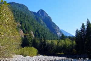
Pratt Valley view from the bar
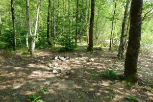
Dispersed campsite by the river bar
Based on the number of fire pits, this is a popular area for dispersed camping and for good reason — the views on both sides of the river are outstanding. During low water periods, it’s also a short-cut to the Pratt River valley if you’re willing to ford the river.
Pratt River bar trail proposal map
Note: The Google satellite imagery has an offset error for most of the Pratt River valley and some outside of it. That’s why the annotations on this map are off. The line for the road and other items are correct, the satellite imagery is shifted north.
View Pratt River Bar trail in a larger map
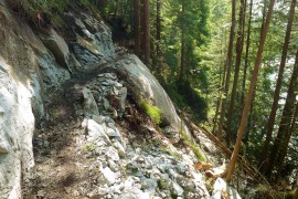
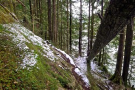
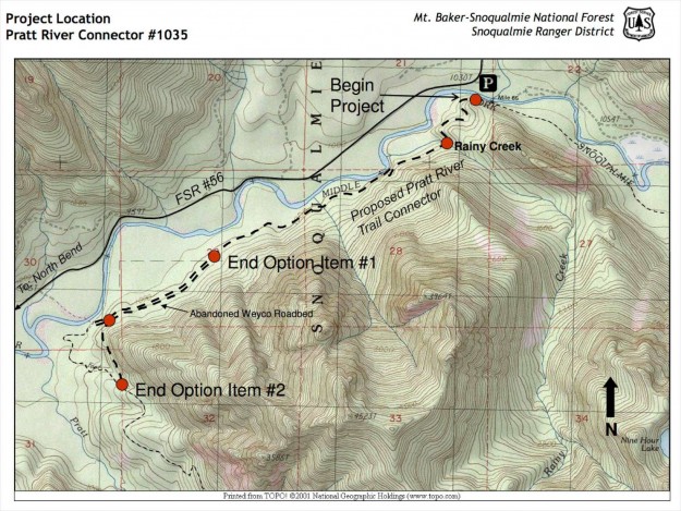
The Pratt Connector trail construction is roughed in all the way to the connection with the Pratt railroad grade. In this section a new trail has been blasted into the rock buttress where the old one dipped below it.