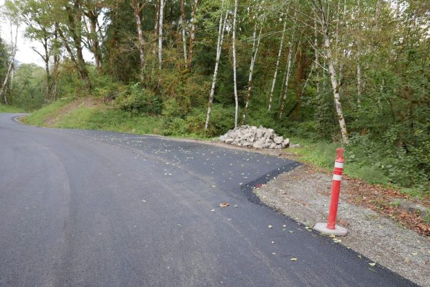
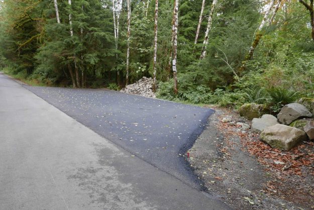
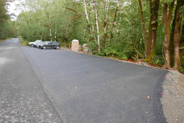
New Garfield Ledges trailhead

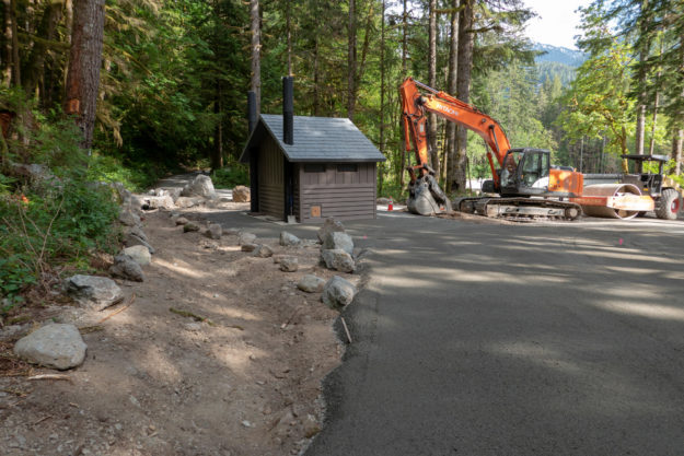
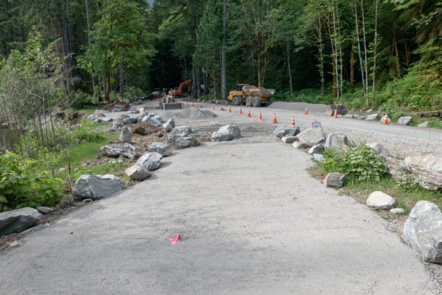
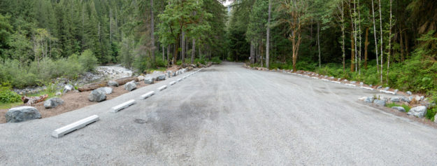
Five years after filing a plan to build a trailhead at the Dingford junction just past the Taylor River bridge the Forest Service began work on the new Garfield Ledges trailhead. It includes a two vault toilet, 4 parking pullouts, and eventually 14 picnic tables. This new trailhead also solves a problem that began in November 2015 when a series of floods washed out the 1/4 mile spur road to the Taylor trailhead leaving few parking spots for the popular hike to Lipsy Lake and Otter Falls. The washouts were too deep for most vehicles to drive through and eventually the road was blocked by barriers in November 2017 and continues to be. But at least there are plenty of parking spots now for all but the busiest weekends.

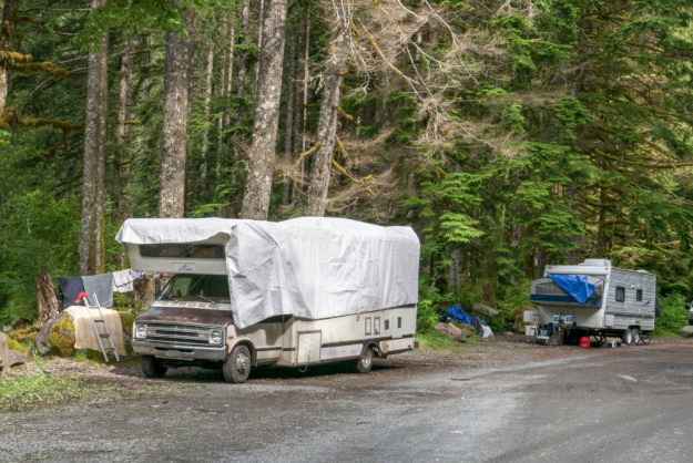
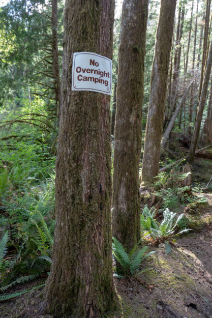
In the past this area just beyond the bridge was a very popular camping area with four dispersed camp sites along the Taylor river. Last summer a couple parties parked their RVs next to the sites and used them for at least the maximum 14 day stat. All of the sites have been converted to day use areas with picnic tables and it may come as a surprise when people drive up to use their traditional site and find out that camping is no longer allowed here.

Simultaneously with the trailhead going in work resumed on the Garfield Ledges trail which starts to climb right behind the bathroom. Last year the last third of the trail was built by hand and now an excavator is being used to slowly carve out the trail beginning at the bottom.
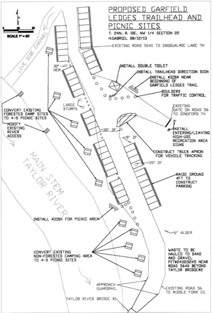
20130930GarfieldLedgesTrailhead01

Early plans for the Garfield Ledges trailhead from the September 30, 2013 SOPA document for the Middle Fork Recreation Hub Project. It took 5 years for this to become a reality.

20171221GarfieldLedgesTrailhead02

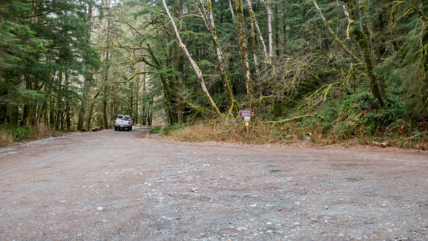
Dingford junction in December, 2017 before work began. The jersey barriers blocking the spur road to the Taylor River trailhead were installed in November, 2017.

20180514GarfieldLedgesTrailhead03

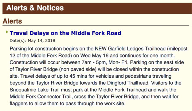
The USFS published an alert on their website about travel delays on May 14, 2018. Work began and May 16 and as promised was completed within about a month except for installation of the picnic tables.

20180520GarfieldLedgesTrailhead04

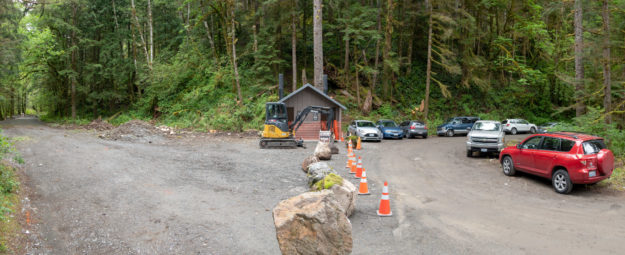
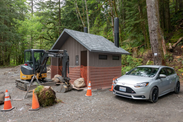
Work began in mid-May, 2018 with the first big change being the addition of a new two-stall bathroom.

20180520GarfieldLedgesTrailhead05

View of new bathroom looking down valley toward the Taylor River bridge


20180520GarfieldLedgesTrailhead06

New bathroom with big rocks blocking doors to prevent early access!


20180520GarfieldLedgesTrailhead07

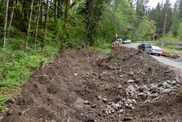
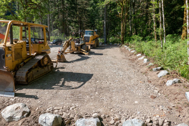
Creating a new parking pullout begins by digging a pit and filling it with gravel to ensure good drainage.

20180522GarfieldLedgesTrailhead08

New parking pullout with new gravel drainage base


20180522GarfieldLedgesTrailhead09

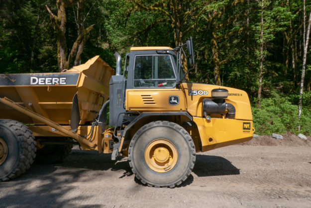
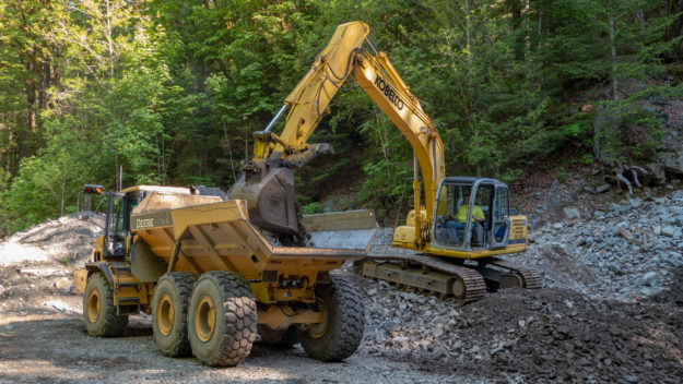
Big equipment used to haul gravel and debris up and down from the Hell Hill pit


20180522GarfieldLedgesTrailhead10

Most of the larger gravel used for fill came from the pit at the top of Hell Hill


20180615GarfieldLedgesTrailhead11

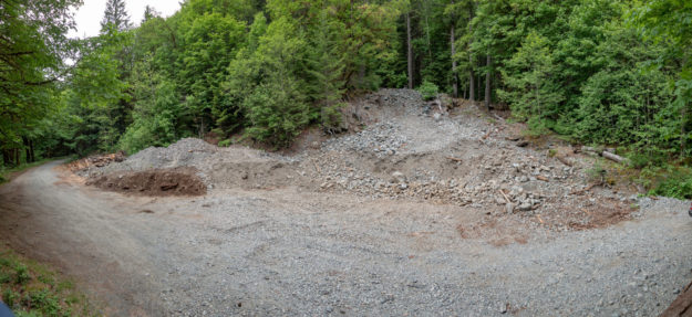
Hell Hill gravel pit usage is done for now and it was left somewhat cleaned up


20180529GarfieldLedgesTrailhead12

New surfacing gravel being trucked in for the top layer of the parking pullouts and picnic areas


20180529GarfieldLedgesTrailhead13

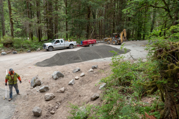
Lots of new gravel is spread around as the project progresses


20180529GarfieldLedgesTrailhead14

Picnic areas and parking pullouts get a top layer of gravel


20180529GarfieldLedgesTrailhead15

The Dingford junction area just beyond the Taylor River bridge has been a popular area for dispersed camping for many years. Camping is no longer allowed in this area.

20170617GarfieldLedgesTrailhead21

Two RVs set up for extended stays at the Dingford junction in June, 2017


20180605GarfieldLedgesTrailhead16

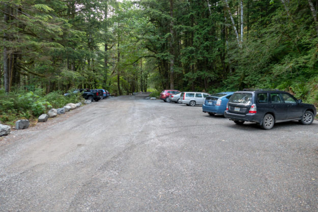
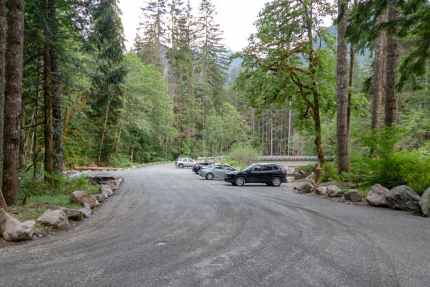
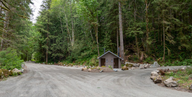
The completed project. The Taylor trailhead road to the left is still blocked. The road to the right climbs Hell Hill on the way to the Dingford trailhead.

20180605GarfieldLedgesTrailhead17

The completed project with many more parking spots than before


20180612GarfieldLedgesTrailhead18

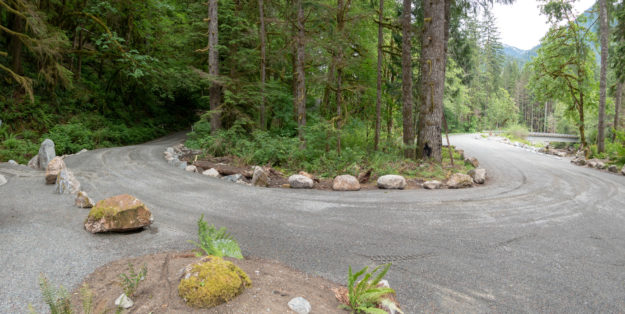
The turn in the road for climb up Hell Hill and after 6 miles of potholes, the Dingford trailhead. A new culvert was installed on the left to avoid persistent muddy ground in this area.
20180615GarfieldLedgesTrailhead19

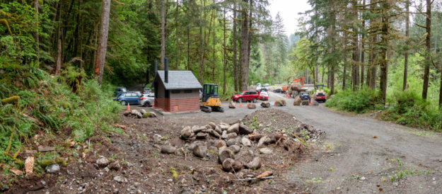
Hikers begin using the new trailhead for trips up the Taylor River trail


20180615GarfieldLedgesTrailhead20

Hikers using the new trailhead

Middle Fork Road Grand Opening

After many years of planning and four years of construction the grand opening of the newly paved Middle Fork road was celebrated on National Public Lands day, September 30, 2017. On the same day a ribbon cutting ceremony was also held for the recently completed Granite Creek trailhead and a reroute of a troublesome section of the Middle Fork trail. Multiple work parties were out this day as well, and everyone was invited to the Middle Fork campground for food and beverages to wrap up the festivities.

These videos include highlights of the comments from representatives of the many government and private agencies that contributed to these projects. The theme of the day was working together to realize the opportunities presented by the Middle Fork valley. For the sake of brevity, most of the recitals of thanks to various groups and individuals have been edited out, but a full transcription is available here.

The Mountain To Sound Greenway also has many excellent photos on Facebook taken by Ray Lapine.


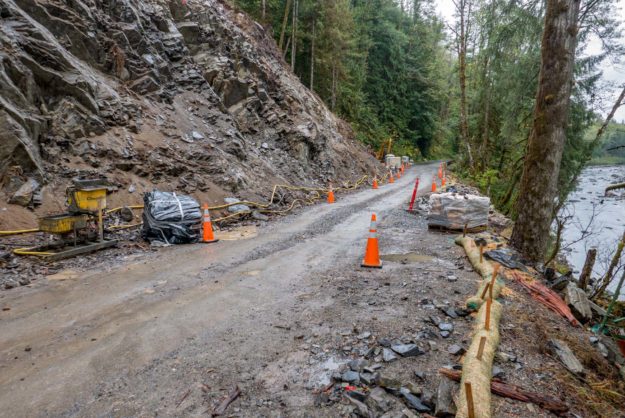
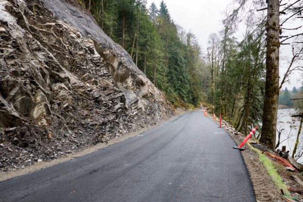
It was convenient to have this celebration on National Public Lands Day, but there was still a short section of the road by the TANW1 river gauge that was not completed by this date. That would happen a couple months later when the final bit of pavement was laid down and the last guard rails installed in mid November, 2017.

20170930TANW1Unpaved

Unfinished section by TANW1 on the same day

20171104TANW1PavementCompleted

New pavement at TANW1 in early November

Related news coverage

09/29/2017 Living Snoqualmie: Grand opening celebration of new Middle Fork Road, multiple new trails happens this weekend

Blethen Lake property purchased for Mt Si NRCA

In January, 2017, Forterra announced the purchase of two large parcels of land from the Cugini family, one of which includes the Blethen Lakes. These small lakes are the headwaters of Quartz Creek which drains into the Taylor River just above the confluence with the Middle Fork Snoqualmie river. According to Forterra, the DNR and other conservationists, work on this deal has been going on for 15 years and only now has come to fruition as the parties involved agreed on a fair appraisal value that considered the full value of the timber on the property. The price for the Lake Blethen property was $895K, with the funding coming from contributions and the Land and Water Conservation Fund via the US Fish and Wildlife Service.

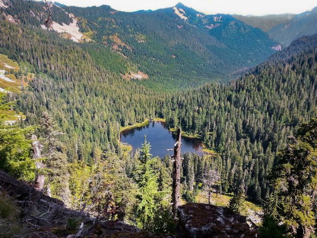
20110924BlethenLakesFromBessemer

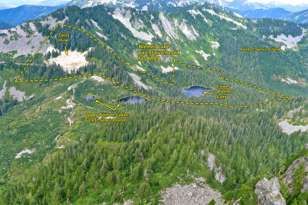
Blethen Lakes from Bessmer. The purchased land includes lower Blethen Lakes. The surrounding property is either in the DNR’s Mt Si NRCA or part of the Mt Baker-Snoqualmie National Forest. Mining of talus rock will presumably stop now.

Blethen Lake is difficult to get to. One choice is to purchase a Campbell non-motorized pass and walk or bike the 11 miles (each way) of logging roads from the Spur 10 gate to the pass between Hancock and Quartz Creek. A shorter route is to start at the Taylor River trailhead in the Middle Fork valley and walk up the old Quartz Creek road. Unfortunately, this has become increasingly overgrown over the years and several of the old bridges have been washed out leaving deep gullies, one of which is quite difficult to cross. Volunteers did some trail clearing in 2016 so it may be slightly better now. The old road/trail ends about 3/4 of a mile before you reach the lake. There are rumors of an old trail, but most people who reach the lake these days do so as a winter snowshoe trip to avoid the brush.

20150531BlethenLakesFromPaperboy

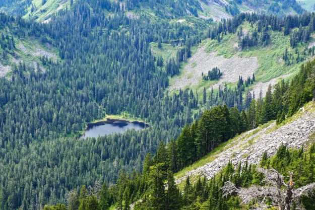
Blethen Lakes from Paperboy. The upper lake is barely visible at the Quartz/Hancock Creek saddle.

20170303BlethenLake

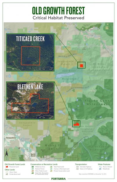
Forterra map of the purchase included in their press release. The Blethen Lake and Titicaed Creek parcels were 220 and 156 acres respectively.

20170103FoterraFB

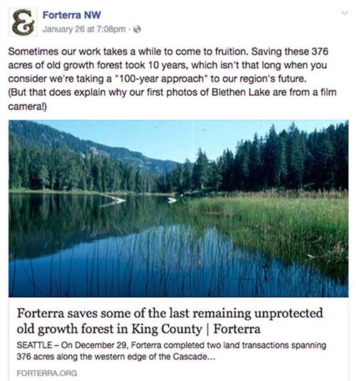
Forterra Facebook post

20160909LakeBlethen

Lower Lake Blethen – Courtesy of Robert Cugini

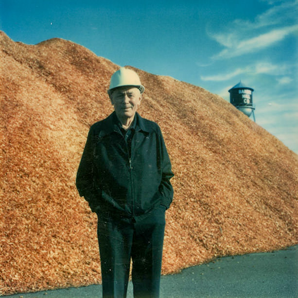
GrandpaCugini

Alex Cugini Sr. in an undated photo – Courtesy of Robert Cugini

Related links

  • 01/03/2017 Forterra press release – Forterra saves some of the last remaining unprotected old growth forest in King County
  • 01/05/2017 Snoqualmie Valley Record – Forterra and DNR buy 376 acres near North and Middle Forks
  • 01/03/2017 nwhikers.net trip report – Blethen lake via Quartz Creek Road
  • 04/23/2011 nwhikers.net trip report – Boomerang and Paperboy from Spur 10 gate
  • 03/28/2010 Hiking With My Brother – Blethen Lakes – Quartz Creek Trail #1263
  • 10/27/2016 Recreation and Conservation Office project 16-1439 – Department of Natural Resources grant proposal to buy 891 acres in east King County. This proposal includes other parcels besides the ones mentioned above, but has a tantalizing suggestion from ALPS that a trail to Blethen Lake may be a possibility in the future.

    DNR: 632 acres in the Mount Si Natural Resources Conservation Area, 179 acres in the Middle Fork Snoqualmie Natural Resources Conservation Area, and 80 acres in the Rattlesnake Mountain Scenic Area. The land includes key areas in the Mountains to Sound Greenway that are threatened by residential development and provide crucial wildlife habitat in an urban area. … Distinctive features include talus, high and low elevation lakes, numerous streams, wetlands, old-growth and mature forests, cliffs, and landscape connections for wildlife. Wildlife at these sites include a variety of animals, including cougars, bobcats, mountain goats, black bears, coyotes, elk, red-tailed hawks, osprey, barred owls, pygmy owls, and pileated woodpeckers. The department will allow low-impact public use and outdoor environmental education on the land.
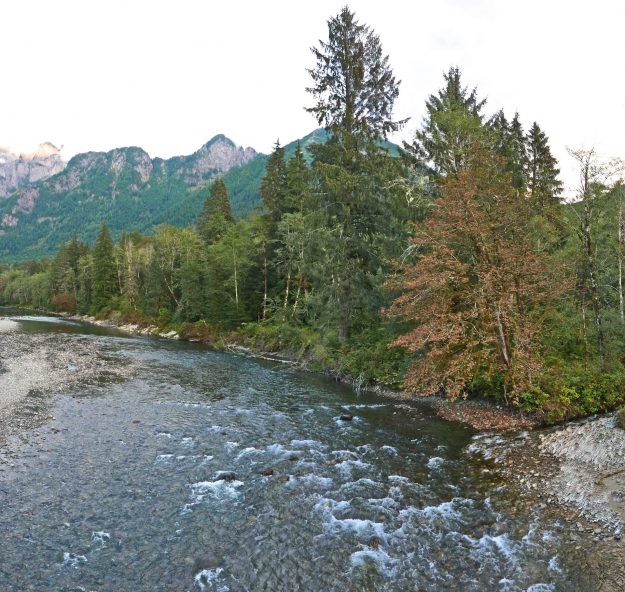
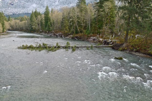
    ALPS: Lake Blethen also holds old growth forests, with some very old and impressive western red cedars. It might possibly make a good destination for a new trail in future. And all the other parcels identified by DNR have outstanding values which will only increase as time passes and this area becomes more and more the focus for people seeking to escape Seattle to someplace wild and natural.

Ice Circle by the Big River Bridge

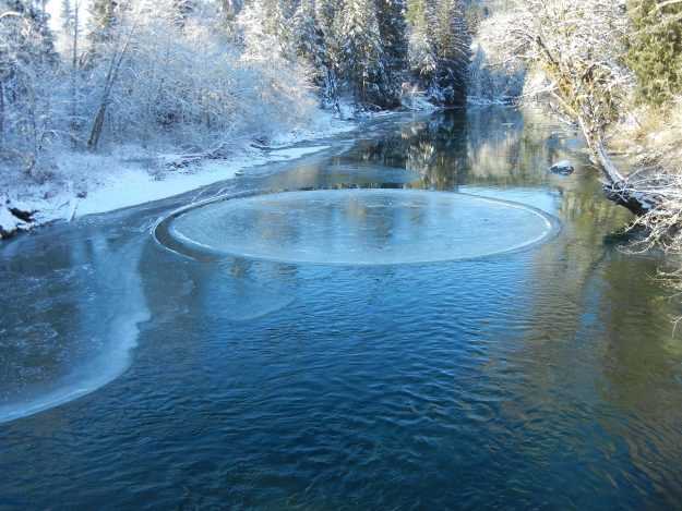
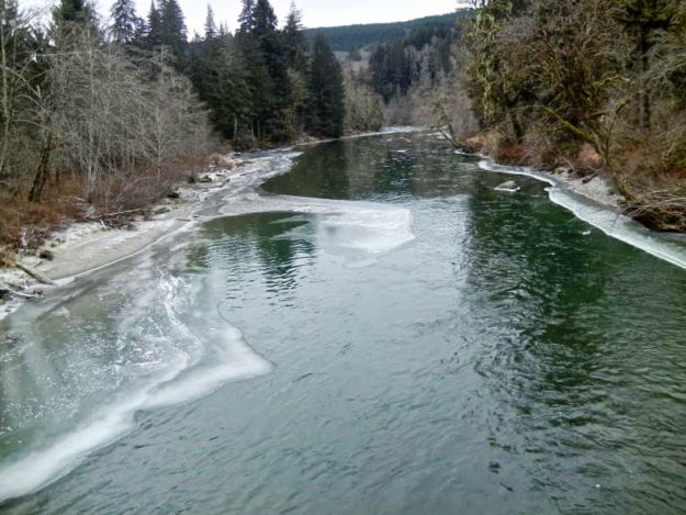
An unusually large example of an ice circle formed just downstream of the Big River Bridge on Saturday, January 7. Large ice circles like this are relatively rare, especially so on the Middle Fork river where cold temperatures don’t usually persist long enough for ice to form on the river. The photo below was taken by a frequent visitor to the valley. More photos and videos are on Kaylyn Messer’s blog.

Ice Circle

Ice circle just downstream of the Big River Bridge. Photo by Bill Davis, all rights reserved.

Ice Circle spinning on Middle Fork Snoqualmie River from Kaylyn Messer on Vimeo

Word spread around North Bend and during the afternoon dozens of vehicles drove to the bridge to see the phenomenon despite the 25° weather

The last hard freeze in the Middle Fork valley occurred in December, 2013 but even though a skim of ice formed at the same spot in the river no ice circle was reported. Photo by Bill Davis

201701IceAffectingTANW1

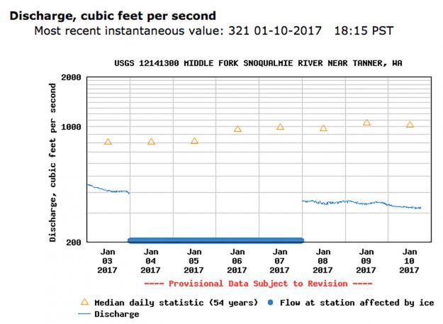
Ice caused the TANW1 river gage just downstream of the bridge to stop functioning for a few days


Related news

Middle Fork road gets plowed

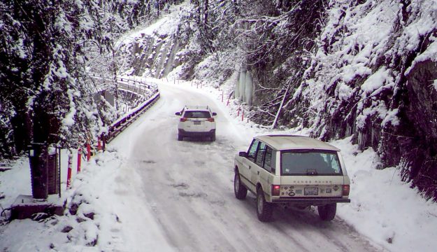
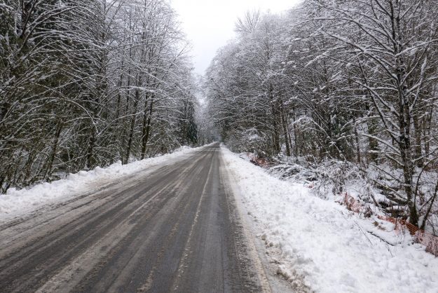
An unexpected benefit of the paved road became apparent after two snow storms in early December left 6″ of snow on the Middle Fork road. Snow like this is not unusual, but typically doesn’t stick around on the valley floor very long and the road slowly becomes more accessible as trucks and other high clearance vehicles create ruts.

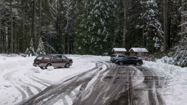
So it was surprising to many visitors that King County plowed the road on Monday, December 12 and then again in the morning on Tuesday. The plowing went as far as the Middle Fork trailhead, including the parking areas there and most of the parking pullouts along the road up to that point. Beyond the trailhead, driving was significantly more difficult because of deep ruts and the monster potholes that begin at the Taylor River bridge. Some vehicles were getting farther up the road, but not all (see photo below). With expected cold weather in mid December the slushy snow will turn to ice. Warmer weather is forecast before Christmas and the road will thaw out but continuing snow accumulation will continue to make it challenging to drive to the Dingford trailhead.

MiddleForkPlowing01

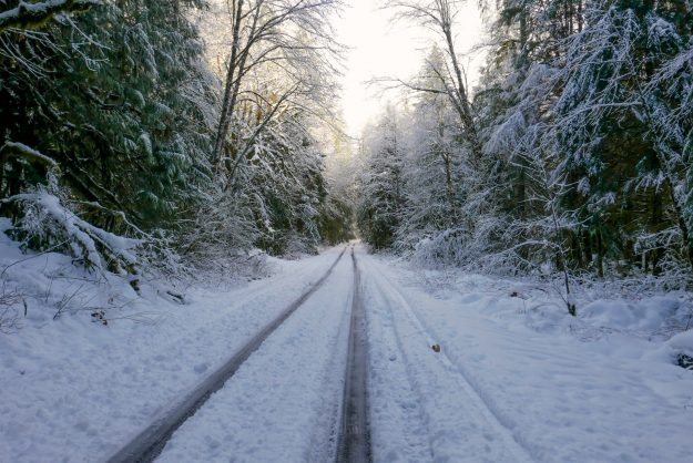
Plowing on both Monday and Tuesday made for an easy drive despite the heavy snow accumulation

MiddleForkPlowing02

The plowing extended all the way to the Middle Fork trailhead, including the various pullouts along the road

MiddleForkPlowing03

The Middle Fork trailhead would have been inaccessible without plowing. The bathroom is open but not serviced in the winter so bring your own TP.

MiddleForkPlowing04

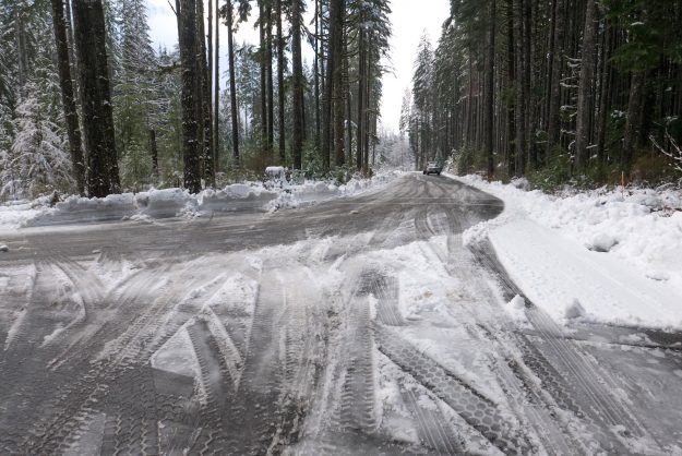
Beyond the Middle Fork trailhead the road was not plowed and only passable to high clearance vehicles with good traction

MiddleForkPlowing07

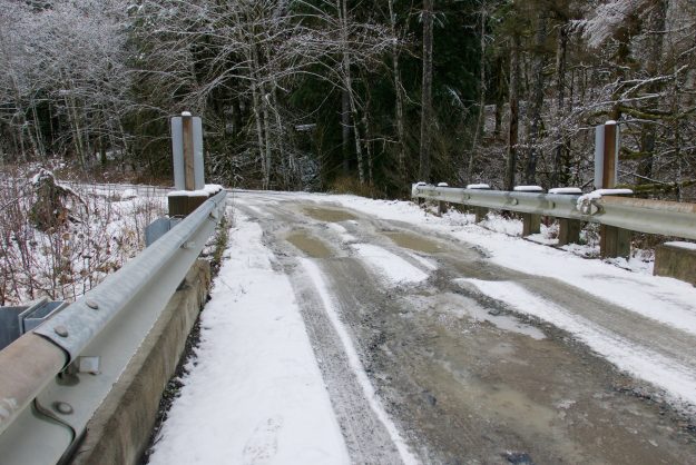
Taylor River bridge potholes before the most recently snow storm. They can be slippery and difficult to drive through when traction is reduced by slush and deeper snow.

MiddleForkPlowing05

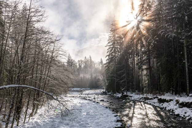
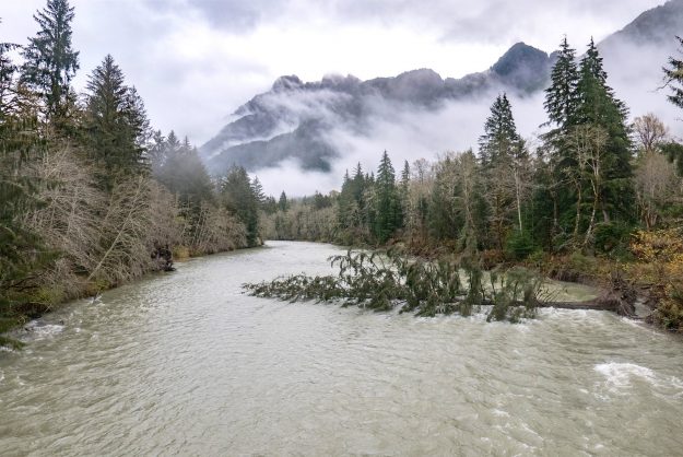
Whether walking or driving, winter in the Middle Fork can be beautiful. Here the sun shines through cold fog at the Taylor River bridge.

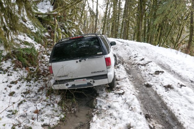
This Chevy Trailblazer tried to drive up Hell Hill and ended up stuck in a muddy ditch. Later his friends came in a pickup to pull the vehicle out.

If a tree falls in a river …

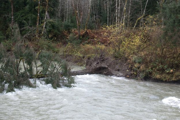
If a tree falls in a river, does it make a sound? During the recent high water event on the 20th, another big tree fell into the river upstream of the bridge. Long time observers standing on the Big River Bridge at MP 5 on the Middle Fork river may have noticed the upstream west bank has been steadily eroding for at least the last decade, and probably longer. The west bridge pier and abutment are adjacent to the Granite Creek confluence immediately upstream of the bridge, but so far they do not appear to be threatened by the river channel migration. This tree will likely be transported down river and lodge itself on the bank during the next period of high water flow which is almost certain to happen this fall or next spring.

20161101TreeInRiver06

After living on the edge for years, this tree almost certainly fell during the October 20, 2016 high water event. This photo was taken 12 days later.

20160903TreeInRiver05

A couple months ago in September the tree was seemingly clinging to nothing but air.

20160430TreeInRiver04

The tree on the left is the one that just fell, and was undercut, but did not lean. Logs jammed at the east bridge pier from the fall 2015 storms may be contributing to erosion of the bank on this side.

20161108TreeInRiver08

A view of the fallen tree showing it’s proximity to the Granite Creek confluence. All of the trees in the cluster at the confluence will probably be gone in a few years.

20161101TreeInRiver07

Closeup of the root ball that pulled out of the bank


This is not the first tree to fall recently. In 2011 another tree in the same location fell after leaning over the river for years.
20110225TreeInRiver02

In 2011 a tree adjacent to the one that just fell was leaning toward the river

20111119TreeInRiver03

And in November 2011 it fell into the river. There was no extreme high water event around this time so it must have literally reached it’s tipping point. The standing partner near it’s base would last 5 more years before itself succumbing to continuing bank erosion on the west side upstream of the bridge.

Mailbox summit trail spares trees

The DNR has been building the new Mailbox Peak trail for several years and it’s nearly complete. Work on the lower switchbacks began in 2012 using a small excavator while another crew worked by hand down from the top. A new parking lot was built in 2013 and by the end of that year the new trail connected with the old trail at 3900′, just below the big talus field. Work continued in succeeding seasons to add bridges, improve drainage at smaller creek crossings, and improve the tread.

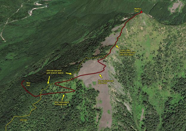
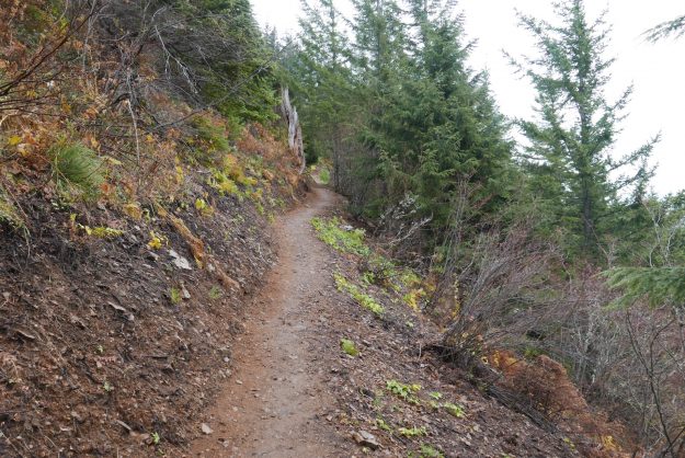
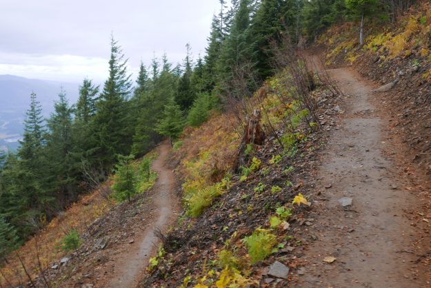
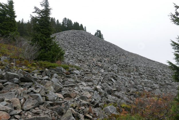
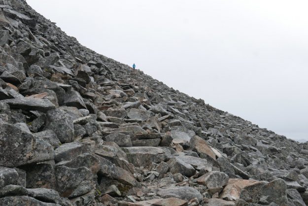
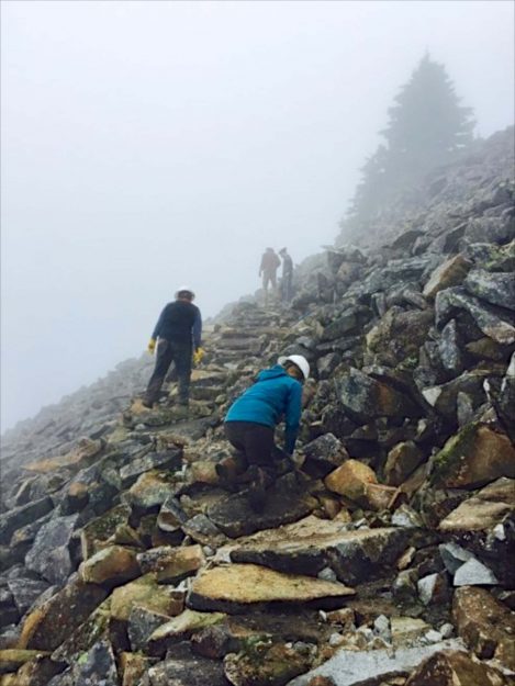
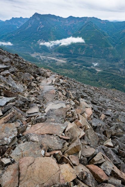
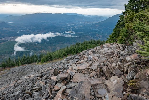
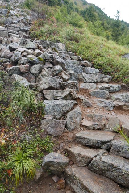
In 2016 most of the work was focused on the section of trail through the talus field and continuing on an open ridge to the summit. The old trail alignment veered to the north side of the ridge line and passed through a grove of old growth hemlock trees. They were beautiful and stately, but the impact of thousands of boots stepping on the trail that was in large part roots of these trees threatened their health. Heavy duty rock work was required to construct trail switchbacks through the talus, but this trail will melt out sooner in the spring and is indestructible. Above the talus the tread is now restricted to a single path instead of multiple braids, and much of it has been improved with sturdy rock steps. Previously this was an erosion-prone dirty gully with rocks continually working loose from boot traffic.

Only a short section remains before the new Mailbox trail is completed, and we can expect that to occur in 2017.

20161025NewMailboxTrailThroughTalus

Illustration of work done on this year on the upper section of the new Mailbox trail. The work on the final section to the summit is not complete yet.

20161025Mailbox01

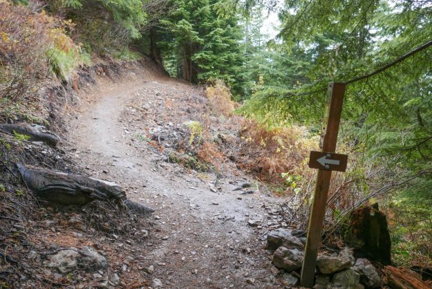
Junction of the new and old trails. The new trail now goes straight ahead instead of steeply up to the left.

20161025Mailbox02

Easy section just past the new/old trail junction

20161025Mailbox03

New switchback on the south side below the talus field

20161025Mailbox04

The new trail enters the talus field on the south side of the ridge. This avoids the rooty trail through the old growth hemlocks which would have harmed them over time.

20161025Mailbox05

New trail through talus

20161025Mailbox11

Building a trail through the talus field. Photo courtesy of DNR.

20161025Mailbox06

The crew did a great job laying flat stepping stones here

20161025Mailbox07

This is the top of talus trail section where the trail leaves the talus field

20161025Mailbox08

The blocked old trail from the other side of the blockage. There’s no reason for anyone to go this way now — the talus field has big views and secure footing.

20161025Mailbox09

Well done rock step work where it used to be semi-loose rocks in a dirty gully

20161025Mailbox10

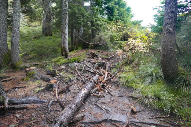
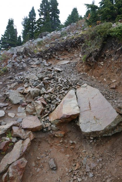
Obviously this is beyond the point that the trail crew got to. This is what much of the ridge trail used to look like.

First high water event this fall

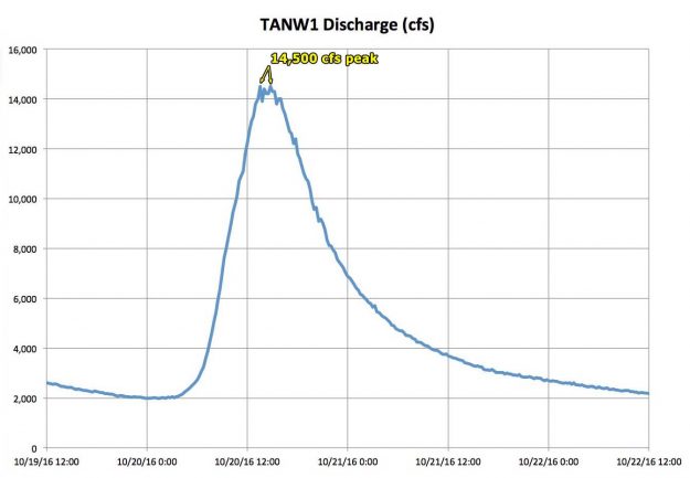
The first big fall rain event of the year swept through Washington on Oct 20, 2016 with the river reaching a peak level of 14,500 cfs and staying close to that for almost 3 hours. The storm caused no apparent damage either along the paved portion of the road or on the gravel section to Dingford Creek and Goldmyer hotsprings.

After a severe series of storms in the fall of 2015 this year has been relatively calm so far with no sudden spring thaws. The previous significant river flow peaked at only 11,800 cfs at the TANW1 gage on February 15, 2016.
20161020TANW1RiverGage

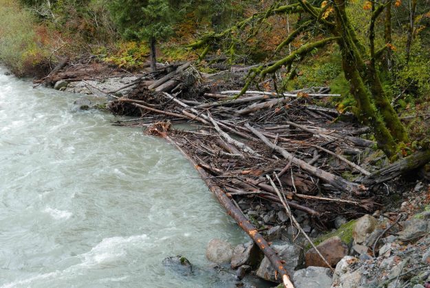
20160903MineCreekLogJamBefore

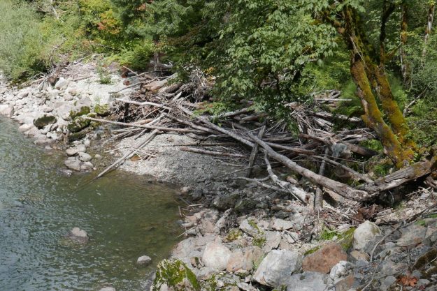
Mine Creek log jam before the first high water this fall. It’s unusual for this river eddy spot to have so few logs stranded on the gravel bar.

20160903MineCreekLogJamAfter

The log jam at Mine Creek was refilled with log debris and rearranged again as it is with every high water event

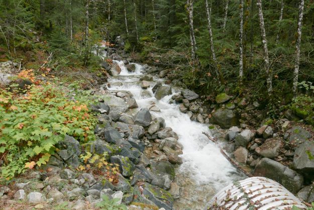
20161013GreenRidgeCreekDry

Green Ridge creek was surprisingly still dry in early October

20161020GreenRidgeCreekFlowing

Green Ridge creek flowing strongly again after recent heavy rains

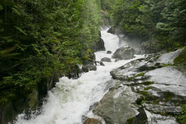
20161021DingfordFalls

Dingford Creek falls is in full fall roaring mode

Road paving nearly completed

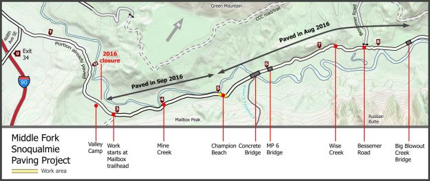
In September, 2016 the remaining section of Middle Fork road was paved, from Valley Camp to Champion Beach. A short section at the problematic cliffs near Champion Beach will be finished in 2017 under a new contract. It’s not a smooth drive all the way to the Taylor River bridge.

Paving completed in 2016

Paving completed in 2016

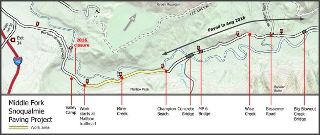
More miles paved in August

In the last 2 weeks of August, 3.5 more miles of the Middle Fork road were paved, from Champion Beach to Big Blowout Creek. Weather permitting, project management expects to pave the rest of the road to Valley Camp before the end of construction for this year on October 31, 2016.

2016augpaving

3.5 miles paved in August, 2016


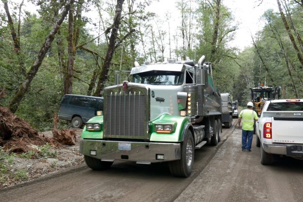
20160831NewPaving01

New pavement in progress with asphalt trucks coming out

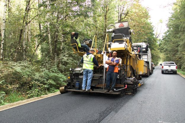
20160831NewPaving02

Second layer of asphalt being applied

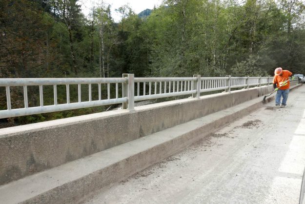
20160831NewPaving03

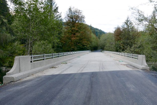
A worker cleans years of accumulated cruft from the concrete bridge rails

20160903NewPaving04

Cleaned concrete bridge

20160903NewPaving05

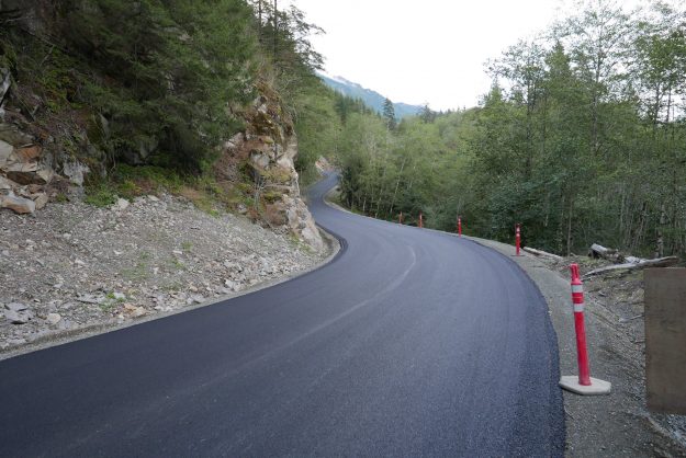
New pavement by rock outcrop before Wise Creek

20160903NewPaving06

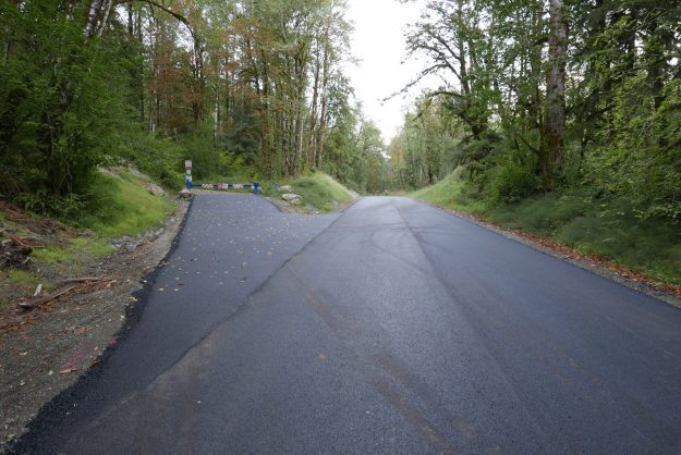
Newly paved approach to Bessemer Gate

20160903NewPaving07

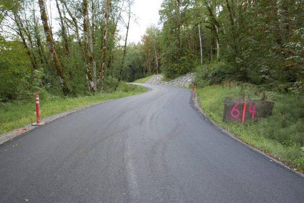
Paved wiggle in road just after the Bessemer Gate

20160903NewPaving08

Newly paved pullout at upper Oxbow Loop

20160903NewPaving09

Newly paved pullout at Russian Butte view

20160903NewPaving10

Newly paved pullout at Pratt River Bar