Monthly Archives: October 2016

Mailbox summit trail spares trees

The DNR has been building the new Mailbox Peak trail for several years and it’s nearly complete. Work on the lower switchbacks began in 2012 using a small excavator while another crew worked by hand down from the top. A new parking lot was built in 2013 and by the end of that year the new trail connected with the old trail at 3900′, just below the big talus field. Work continued in succeeding seasons to add bridges, improve drainage at smaller creek crossings, and improve the tread.

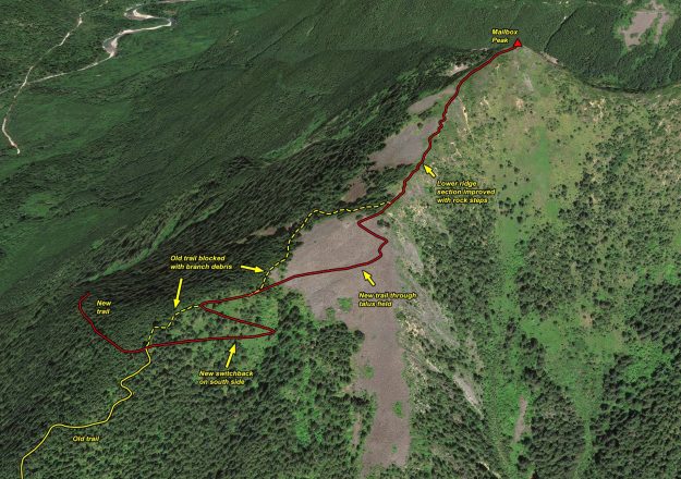
In 2016 most of the work was focused on the section of trail through the talus field and continuing on an open ridge to the summit. The old trail alignment veered to the north side of the ridge line and passed through a grove of old growth hemlock trees. They were beautiful and stately, but the impact of thousands of boots stepping on the trail that was in large part roots of these trees threatened their health. Heavy duty rock work was required to construct trail switchbacks through the talus, but this trail will melt out sooner in the spring and is indestructible. Above the talus the tread is now restricted to a single path instead of multiple braids, and much of it has been improved with sturdy rock steps. Previously this was an erosion-prone dirty gully with rocks continually working loose from boot traffic.

Only a short section remains before the new Mailbox trail is completed, and we can expect that to occur in 2017.
20161025NewMailboxTrailThroughTalus

Illustration of work done on this year on the upper section of the new Mailbox trail. The work on the final section to the summit is not complete yet.
20161025Mailbox01

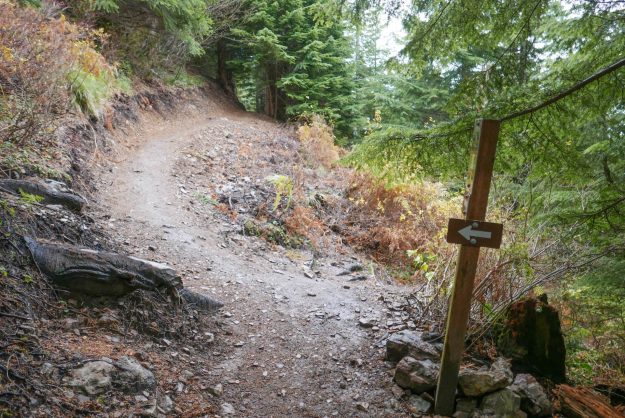
Junction of the new and old trails. The new trail now goes straight ahead instead of steeply up to the left.
20161025Mailbox02

Easy section just past the new/old trail junction

20161025Mailbox03

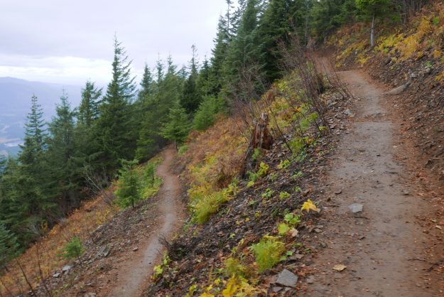
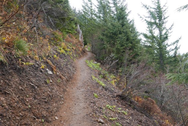
New switchback on the south side below the talus field

20161025Mailbox04

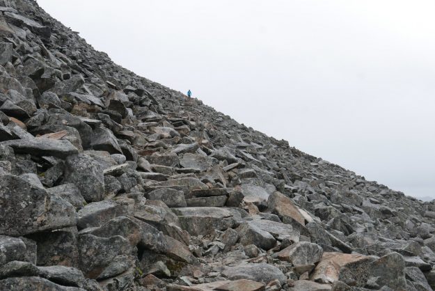
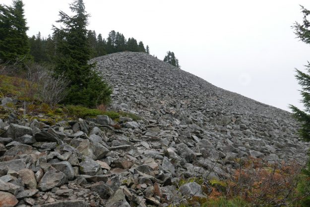
The new trail enters the talus field on the south side of the ridge. This avoids the rooty trail through the old growth hemlocks which would have harmed them over time.
20161025Mailbox05

New trail through talus

20161025Mailbox11

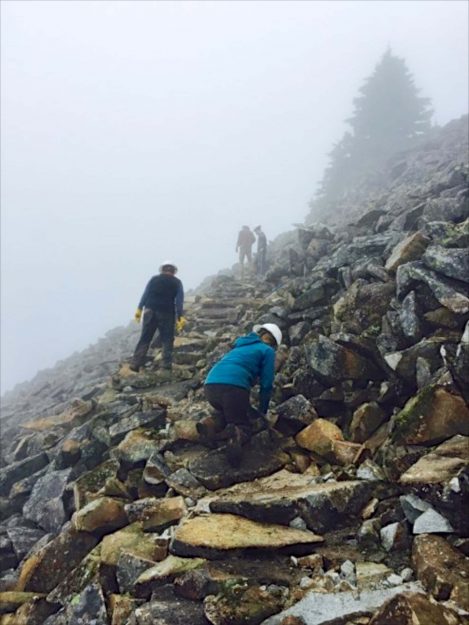
Building a trail through the talus field. Photo courtesy of DNR.
20161025Mailbox06

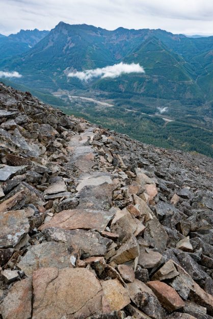
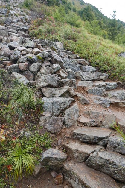
The crew did a great job laying flat stepping stones here

20161025Mailbox07

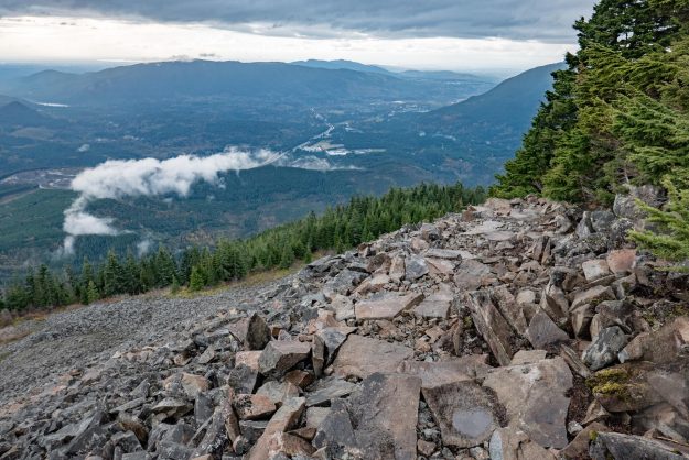
This is the top of talus trail section where the trail leaves the talus field

20161025Mailbox08

The blocked old trail from the other side of the blockage. There’s no reason for anyone to go this way now — the talus field has big views and secure footing.

20161025Mailbox09

Well done rock step work where it used to be semi-loose rocks in a dirty gully

20161025Mailbox10

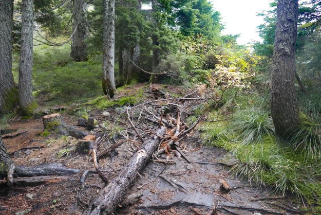
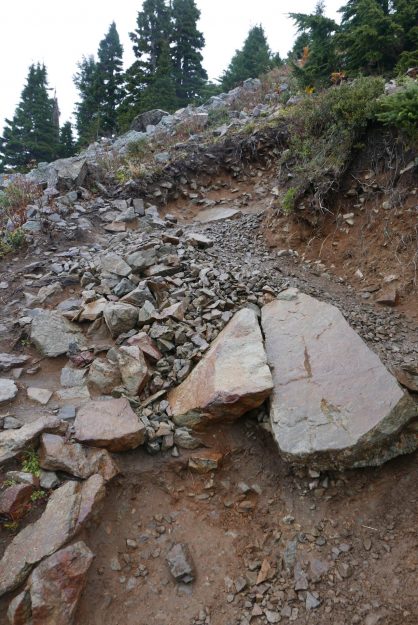
Obviously this is beyond the point that the trail crew got to. This is what much of the ridge trail used to look like.

First high water event this fall

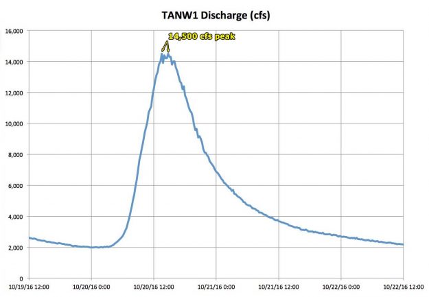
The first big fall rain event of the year swept through Washington on Oct 20, 2016 with the river reaching a peak level of 14,500 cfs and staying close to that for almost 3 hours. The storm caused no apparent damage either along the paved portion of the road or on the gravel section to Dingford Creek and Goldmyer hotsprings.

After a severe series of storms in the fall of 2015 this year has been relatively calm so far with no sudden spring thaws. The previous significant river flow peaked at only 11,800 cfs at the TANW1 gage on February 15, 2016.
20161020TANW1RiverGage

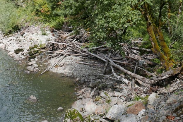
20160903MineCreekLogJamBefore

Mine Creek log jam before the first high water this fall. It’s unusual for this river eddy spot to have so few logs stranded on the gravel bar.

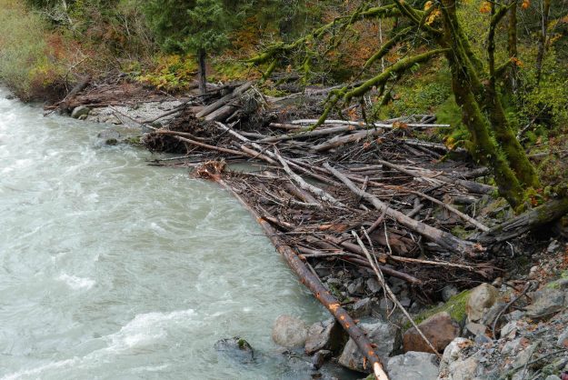
20160903MineCreekLogJamAfter

The log jam at Mine Creek was refilled with log debris and rearranged again as it is with every high water event

20161013GreenRidgeCreekDry

Green Ridge creek was surprisingly still dry in early October

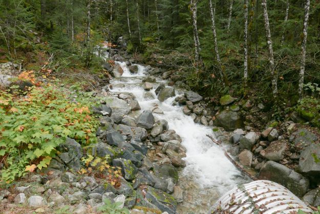
20161020GreenRidgeCreekFlowing

Green Ridge creek flowing strongly again after recent heavy rains

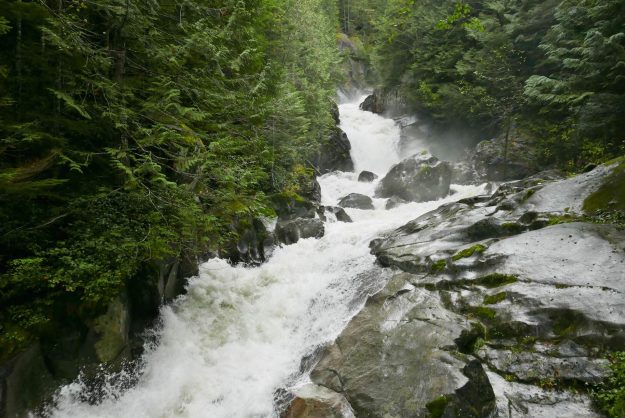
20161021DingfordFalls

Dingford Creek falls is in full fall roaring mode