Tag Archives: paving

Middle Fork road gets plowed

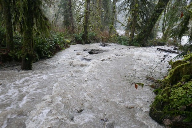
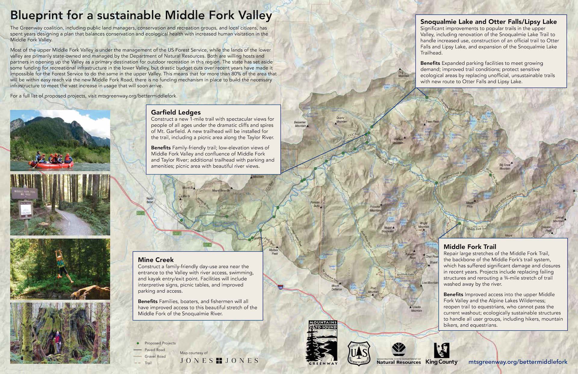
An unexpected benefit of the paved road became apparent after two snow storms in early December left 6″ of snow on the Middle Fork road. Snow like this is not unusual, but typically doesn’t stick around on the valley floor very long and the road slowly becomes more accessible as trucks and other high clearance vehicles create ruts.

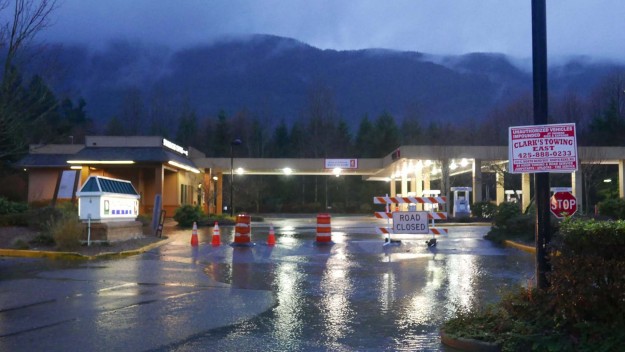
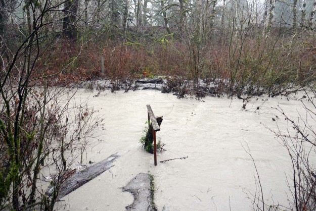
So it was surprising to many visitors that King County plowed the road on Monday, December 12 and then again in the morning on Tuesday. The plowing went as far as the Middle Fork trailhead, including the parking areas there and most of the parking pullouts along the road up to that point. Beyond the trailhead, driving was significantly more difficult because of deep ruts and the monster potholes that begin at the Taylor River bridge. Some vehicles were getting farther up the road, but not all (see photo below). With expected cold weather in mid December the slushy snow will turn to ice. Warmer weather is forecast before Christmas and the road will thaw out but continuing snow accumulation will continue to make it challenging to drive to the Dingford trailhead.

MiddleForkPlowing01

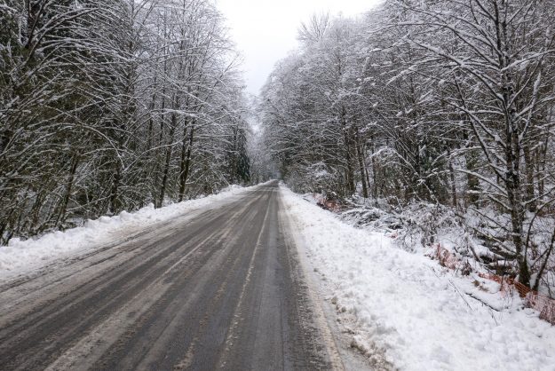
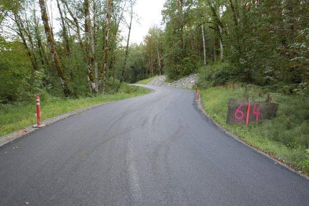
Plowing on both Monday and Tuesday made for an easy drive despite the heavy snow accumulation

MiddleForkPlowing02

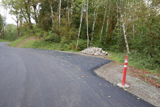
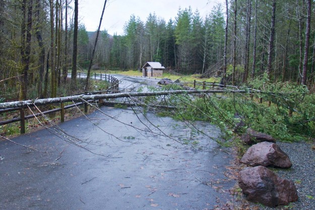
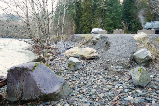
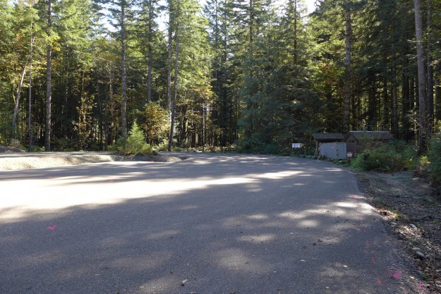
The plowing extended all the way to the Middle Fork trailhead, including the various pullouts along the road

MiddleForkPlowing03

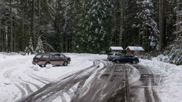
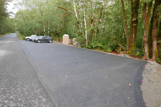
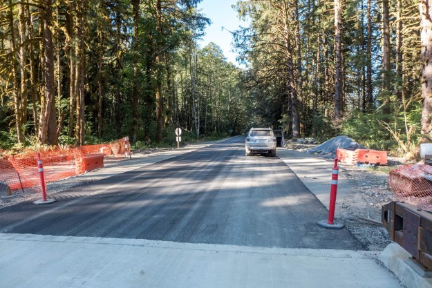
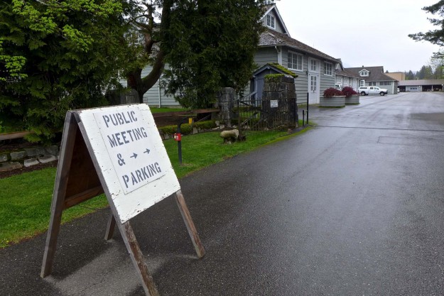
The Middle Fork trailhead would have been inaccessible without plowing. The bathroom is open but not serviced in the winter so bring your own TP.

MiddleForkPlowing04

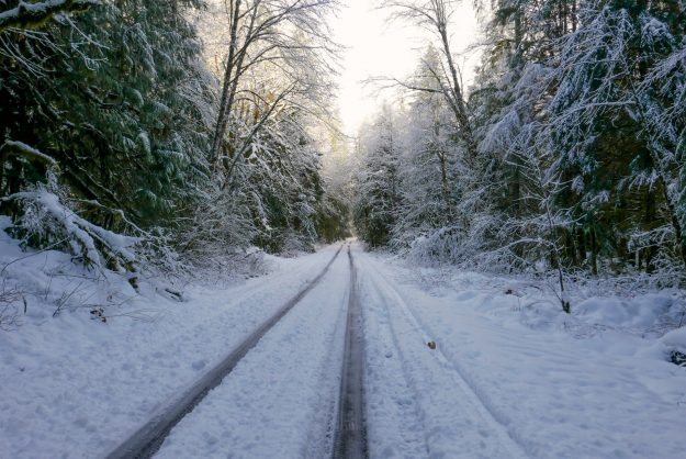
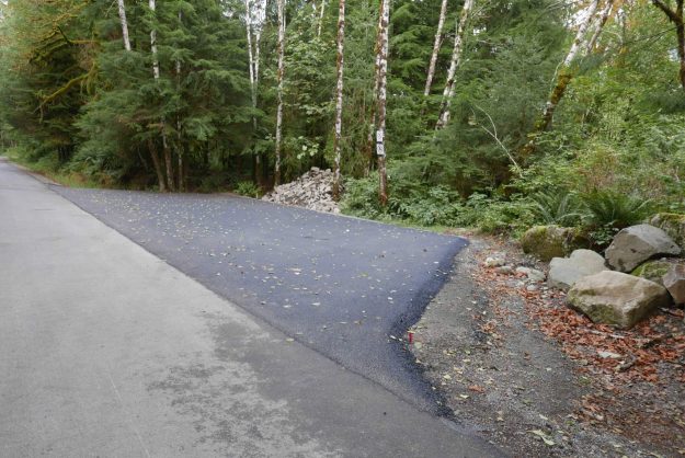
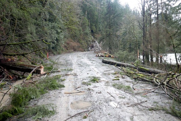
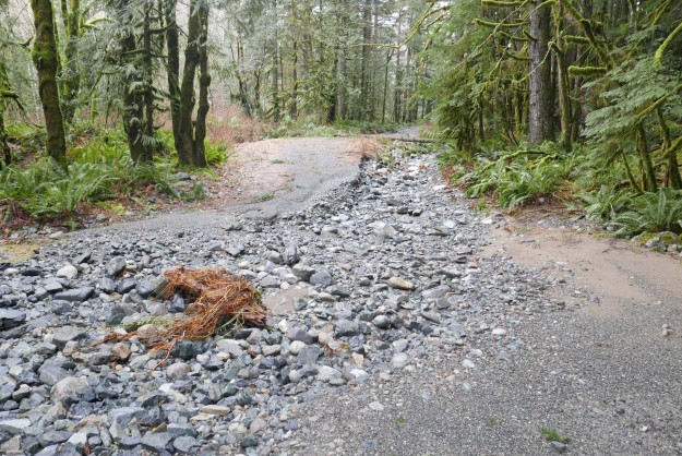
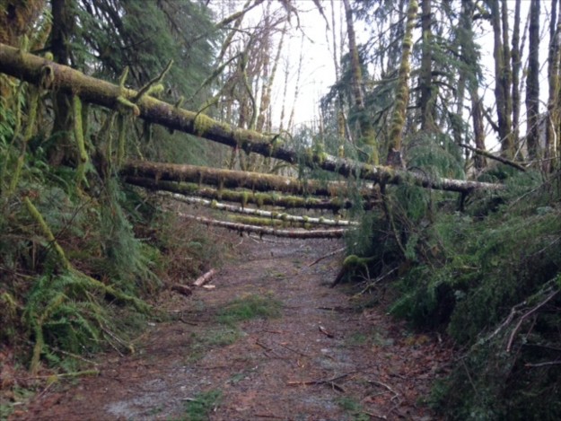
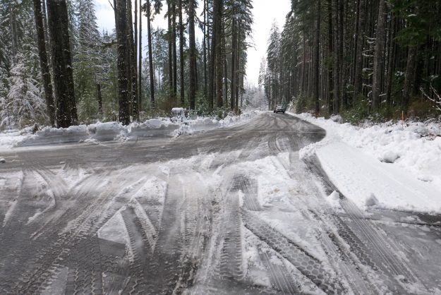
Beyond the Middle Fork trailhead the road was not plowed and only passable to high clearance vehicles with good traction

MiddleForkPlowing07

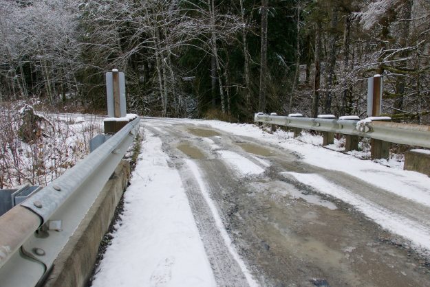
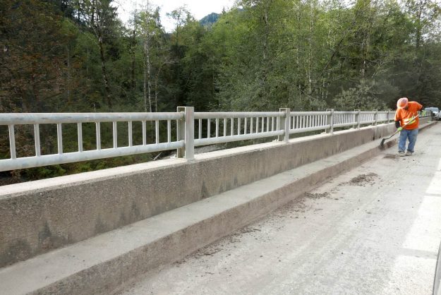
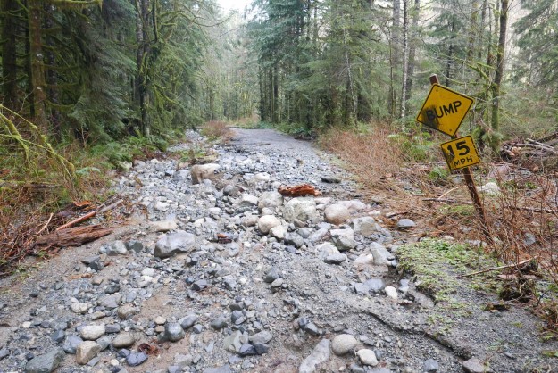
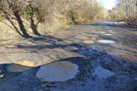
Taylor River bridge potholes before the most recently snow storm. They can be slippery and difficult to drive through when traction is reduced by slush and deeper snow.

MiddleForkPlowing05

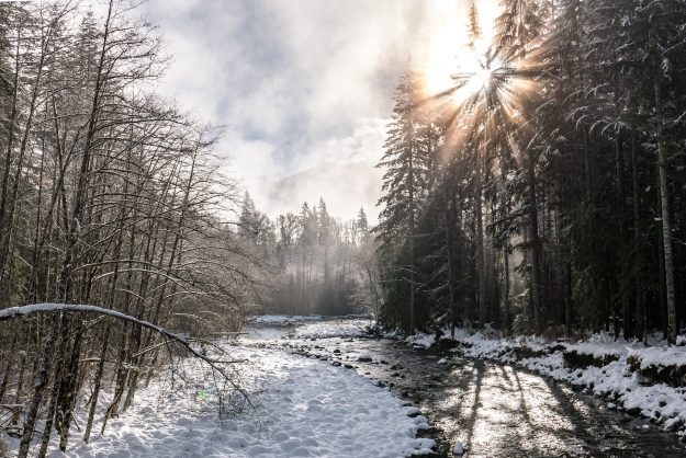
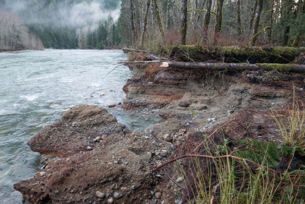
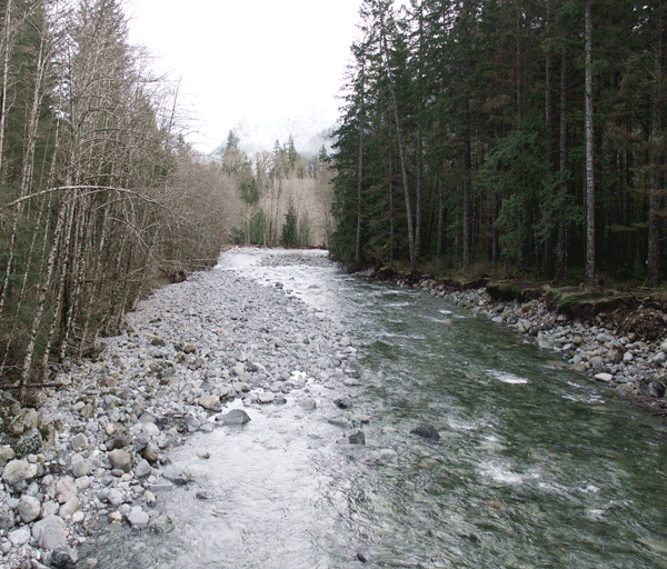
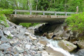
Whether walking or driving, winter in the Middle Fork can be beautiful. Here the sun shines through cold fog at the Taylor River bridge.

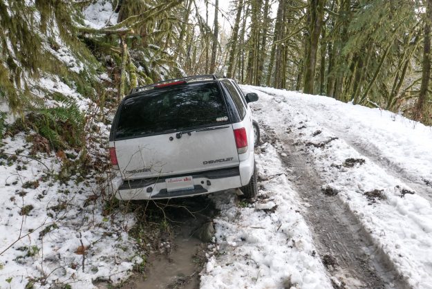
This Chevy Trailblazer tried to drive up Hell Hill and ended up stuck in a muddy ditch. Later his friends came in a pickup to pull the vehicle out.

Road paving nearly completed

In September, 2016 the remaining section of Middle Fork road was paved, from Valley Camp to Champion Beach. A short section at the problematic cliffs near Champion Beach will be finished in 2017 under a new contract. It’s not a smooth drive all the way to the Taylor River bridge.

Paving completed in 2016

Paving completed in 2016

More miles paved in August

In the last 2 weeks of August, 3.5 more miles of the Middle Fork road were paved, from Champion Beach to Big Blowout Creek. Weather permitting, project management expects to pave the rest of the road to Valley Camp before the end of construction for this year on October 31, 2016.

2016augpaving

3.5 miles paved in August, 2016


20160831NewPaving01

New pavement in progress with asphalt trucks coming out

20160831NewPaving02

Second layer of asphalt being applied

20160831NewPaving03

A worker cleans years of accumulated cruft from the concrete bridge rails

20160903NewPaving04

Cleaned concrete bridge

20160903NewPaving05

New pavement by rock outcrop before Wise Creek

20160903NewPaving06

Newly paved approach to Bessemer Gate

20160903NewPaving07

Paved wiggle in road just after the Bessemer Gate

20160903NewPaving08

Newly paved pullout at upper Oxbow Loop

20160903NewPaving09

Newly paved pullout at Russian Butte view

20160903NewPaving10

Newly paved pullout at Pratt River Bar

December storm extends road closure

Just as the Middle Fork road was about to be opened for the winter season another major storm blew through resulting in yet another extension of the closure. Four inches of warm rain was recorded at Valley Camp for December 8 with an additional 1.22 inches the following day. The TANW1 gage showed a double peak, first at 25,000 cfs at 6pm on December 8 and 24,000 cfs at 5:15am on December 9.

After seeing the effects, the road closure was justified as wind gusts blew down numerous trees, mostly in the first two miles of the road above the Mailbox trailhead. About seven medium sized trees blocked the road to the Dingford trailhead and these were cleared by Friday. Reports continue to come in of blowdowns on trails, but the full impact of this series of severe winter storms may not be known until spring.

After the storm on Wednesday, December 9, a geotechnical engineer inspected the slope and Champion beach and approved opening the roadway through the slide area. There is barrier in place to catch any debris that may come down. ACI is clearing the downed trees through the project area and the road may be open to the public as early as Thurday, December 17.

Atmospheric River from Cliff Mass weather blog

Atmospheric River from Cliff Mass weather blog

TANW1 Discharge

Early forecasts for this storm predicted a very dangerous crest of up to 32,100 cfs. Fortunately that did not occur or else much more damage would have been done.

Early forecasts for this storm predicted a very high crest of up to 32,100 cfs. Fortunately that did not occur or else much more damage would have been done.

Comparison of the four major storms so far in 2015. The most recent storm didn't crest quite as high but lasted longer

Comparison of the four major storms so far in 2015. The most recent storm didn’t crest quite as high but lasted longer

20151209FloodedRoads

SW Mt Si Blvd was blocked off here and at Bendigo Blvd

20151208BrawlingCreek

Brawling Creek just above the Middle Fork river

20151208SitkaSpruceCreek

Sitka Spruce creek trail bridge was partially washed out and submerged under murky clay-filled water

20151209MailboxBlowdown

Trees down blocking the Mailbox trail parking lot

20151209MudFlowPattern

Small creek creates interesting mud flow patterns

20151209IslandDropBlowdown

Blowdown cleared by Island Drop

20151209MineCreekBridgeDamage

Mine Creek bridge damage

20151209MineCreekBlowdown

Blowdown by Mine Creek

20151209ChampionBeachRockButtress

Temporary rock buttress supporting Champion Beach road cut

20151209ChampionBeachOverview

Overview of area by Champion Beach that has been a concern for earth movements

20151209TopOfRockButtress

Area above temporary rock buttress that protects the road against minor mud and clay slumping

20151209RoadBlockedByTree

Big tree blocking road beyond Champion Beach

20151209SmallSlumpByRoad

Slumping road cut

20151216MiddleViewPulloutErosion

Partial washout of a dispersed camping site pullout. This pullout was built in 2014 as part of the paving project.

20151216SevereBankErosion

Severe bank erosion by a dispersed campsite downstream of Camp Brown. The river is aggressively migrating toward the road here with each major storm.

20151216TaylorSpurErosion1

Further erosion of the Taylor River spur road. The river will likely flow here often now so it’s unlikely this will be repaired to a level suitable for motorized access.

20151216TaylorSpurErosion1

Further erosion of the Taylor River spur road. The washout is deeper than it appears in this photo.

20151211NewBlowdownOnDingordRoad

Fresh blowdown on the road to Dingford Creek from this storm. This was the major impact between the turnoff at the Taylor River and the Dingford Creek trailhead. Photo by Charles Lingel.

Before and after clearing debris from the road

Not all trees fall during the storm. The high water undercut the bank and the next big snow fall brought the tree down.

Not all trees fall during the storm. The high water undercut the bank and the next big snow fall brought the tree down.

Related News

MTSG dinner features Middle Fork appeal

The Mountain To Sound Greenway held it’s annual celebration dinner on December 2, 2015 at the Washington State Convention Center. As always they presented a series of accomplishments over the year, with the acquisition of land around Valley Camp being of interest here.

20151202ConventionCenter

Mountain To Sound Greenway Dinner & Celebration. Photo by MTSG via Twitter


Besides that acknowledgement, each seat had a flyer on it with an appeal for contributions to support needed infrastruction in the Middle Fork valley. Pages from that flyer are reproduced here and it’s available as a PDF file from the MTSG website. If this is a cause you support, please consider donating to the MTSG which does an enormous amount of good work there.
2015MiddleFork101Handout1

Middle Fork 101 – Page 1

2015MiddleFork101Handout2

Middle Fork 101 – Page 2

2015MiddleFork101Handout3

Middle Fork 101 – Page 3


Of course, it was gratifying to see the use of two photos from this website’s author.
20140802MiddleForkSunbathers

Sunbathers on rock with Garfield Mountain in the background

20150113BigCCCStump

Possibly a stump from what may have been Washington’s biggest tree. 42.5′ circumference, 13.5′ diameter

Two More Miles Paved

2 more miles of the Middle Fork road were paved in early August, 2015 between the Big Blowout Creek and MP 10.6 bridges. This video was taken the first weekend after the paving was completed.

20150731StartOfNewPavement

Big Blowout Creek crossing with new pavement starting from the far end of the bridge

Last two miles paved

The last 2 miles of the Middle Fork road were paved in early October, 2014 from the MP 10.6 bridge to the Taylor River campground. The Middle Fork trailhead parking areas were paved at the same time.

20140928TrailheadReadyForPaving

Middle Fork trailhead prepped for paving

Aerial shot of Middle Fork Trailhead (from construction newsletter, courtesy of WFLH)

Middle Fork Trailhead parking lot paved (from construction newsletter, courtesy of ACI)

20141004NewlyPavedTrailhead

Newly paved Middle Fork trailhead parking lot

Paving project open house

A paving project open house was held at the North Bend Ranger Station on April 23, 2014. Several engineers from the WFLH and a representative of the contractor were present to answer questions. The event was more lightly attended than previous events, possibly because most of the decisions have already been made. This attendee put in a request to rationalize the milepost marks by starting them at the intersection of the Middle Fork Road and 468th Ave SE instead of I-90 Exit 34.

20140423PavingProjectOpenHouse01

North Bend Ranger Station, the open house venue


20140423PavingProjectOpenHouse02

WFLH project engineers available to answer questions

Paving project open house

20120204Potholes

Potholes

The Federal Highway Administration (FHWA) held an open house for local residents at the North Bend Forest Service office on Tuesday, February 26, 2013. As with the three previous open houses for the general public, the purpose was to provide information about the FHWA’s plans for the road and hearing about “your concerns such as how to reduce vehicle speed, adding safe bike lanes, safe shoulders for walking, and safe parking.”

Notes and materials from the previous open houses are posted on the paving project website, and not much new was presented at this meeting. However, the schedule is getting more definite:

  • 2013: The project is anticipated to be awarded in the fall
  • 2014: Active construction from late April through October
  • 2015: Active construction from late April through October
  • 2016: The actual paving will occur from late April through July

Construction will only take place between Monday’s at noon and end each week Friday at noon. During construction the Middle Fork Road beyond Valley Camp will be closed to all non construction vehicle traffic.

20120603MilePost10Bridge

Milepost 10 bridge

For an 8 week period during the summer of 2014 the Middle Fork road will be completely closed for a bridge replacement at mile post 10. During hours of construction the Lake Dorothy road will be closed to all non construction traffic to avoid accidents.

Construction traffic will stay off the lower couplet road (SE Middle Fork). Once construction is complete the Lake Dorothy road (upper couplet road) will be repaired to the condition it was in prior to construction beginning. No upgrade or improvements will be done on either of the roads in the couplet area.

There was much discussion regarding slowing traffic down on the entire road length, access, traffic, and the exit 34 area. The design speed for the proposed project is 35 mph with an expected posted speed limit of 30 mph.

20120531FHWARoadDiagram

FHWA road diagram

King County OKs paving

The King Countys DNS (Determination of NonSignificance) announcement follows the Federal Highway Administration’s FONSI (Finding of No Significant Impact), which was released in June, and is another necessary step before work gets underway. Gotta love those government acronyms! The document includes a slightly more concrete statement about when construction will occur.
20120731KingCountyDnsMap
“The project construction will take approximately 2.5 years between February and December subject to weather and timing restrictions to protect wildlife. It is anticipated that the project will be advertised in the fall of 2013 and that construction would begin in April 2014. The exact construction timing or schedule will be determined by the contractor.”

Nitpick: The indicated location of the three bridges to be? replaced are incorrect on this King County map. They are correct in the FONSI materials.