This website exists to help preserve the natural state of the Middle Fork Snoqualmie valley by promoting responsible low-impact recreation and providing information on the history and the effects of human activity now and in the past.
People value what they know and enjoy, but when land is private or inaccessible, it’s largely ignored except by a hardy few which leads to apathy. Through the efforts of many individuals, groups, and agencies, the Middle Fork is now almost all accessible public land and is slowly recovering from past abuses to become a wild outdoor treasure. Places like this make the northwest special and it will take continued effort to keep it that way. Tread lightly, pick up trash, join a trail crew, leave no trace.
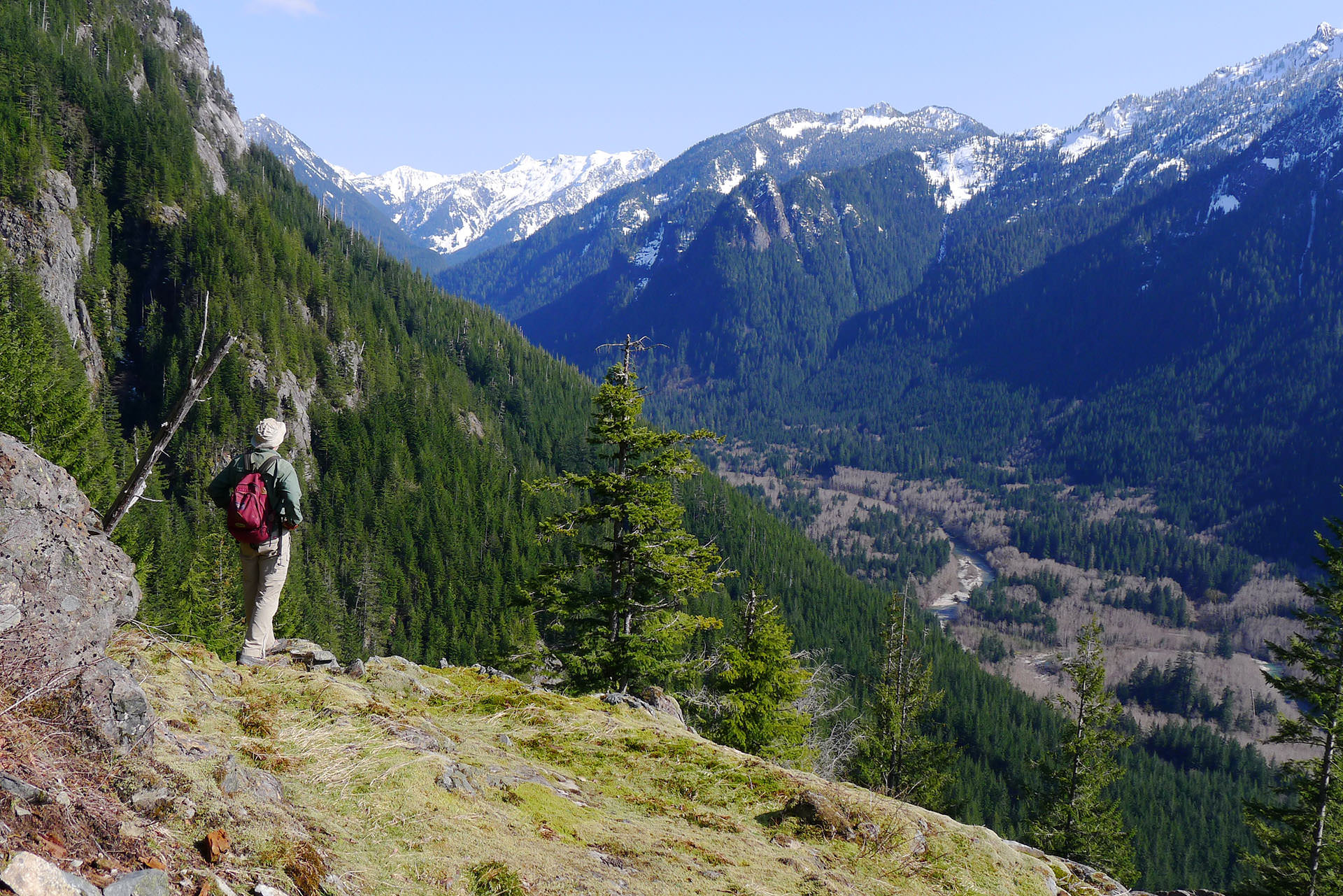
Upper Garfield Balcony
As of January, 2014 this site is well under way, but I have not attempted to advertise or promote it yet. If you stumble across it that’s great, but it’s still missing some basics, such as coverage for the official trails in the Middle Fork. I’m regularly adding news items, recent and historical, and will be filling out the information on the peaks, trees, rivers and trails. Check back later, please!
Finally, please consider whether you have any photos in your shoebox that might find a better home on this site to be enjoyed by others. Check out the Contributions page to see what I’m looking for.
Monty VanderBilt
Mighty good start Monty!!!
Monty, I sure the information you provide on this site. I particularly like the chronology. And the News section is very helpful. Thanks very much!
Thank you very much. As a new inhabitant of the MF I greatly value this info. I have lived in East King Co. most of my life and recently got my little slice of heaven. I am a fool for local history both natural and social. I look forward (greedily I might add) to further posts. Keep up the good work.
Looks Great Monty, looking forward to hiking with you in the MF.
Hi Monty, website looks great! looking forward to visit this beautiful place some day.
Monty,
Thank you so much for starting this website. The Mid Fork Valley is a beautiful diamond in the rough and it’s great to have passionate leaders like you to help direct its future use. There is a lot of potential for future trails in this area. My latest interest has been to explore some of the old growth forest remnants that by some miracle escaped the loggers axes. Big Cedar Flat absolutely blew me away. CCC Grove was also very impressive. Both areas are hard to find but that is probably best so they wont get too trampled. I’m looking forward to exploring other sites. It would be cool if there was a section on this website dedicated to exploring old growth remnants. For delicate sites that might get trampled, a nondetailed description would probably be best so only a few dedicated folk would actually be able to find it.
I also wanted to mention that your maps are outstanding. I’ve never seen better. Very crisp and bold. Trails pop at the most important feature, as they should. Topo and shading informative but not too busy. You nailed this perfectly!
Monty, Keep up the blog!
Your maps & pics of climbs on Flickr are great! Copies = $?
I won’t be able to climb in MF due to infirmities, (Agent Orange, another story!), but I will travel with you via blog, Flickr and NWTrails!
However, I will visit the MF one of these summers, if B Jackson agrees, since I am “The Base Jumper w/o parachute ” from my fall off the 2990′ level adit, May 1969.
June 1960, we met Bill Morrow in his Model T Truck with two dogs (one in each Fender Well) at Dingford Creek Bridge. David Young and I had just come down from Hester and Myrtle Lakes when he arrived driving the Model T with White Rubber Tires! We could hardly believe our eyes, while meeting Big Bill an his dogs! He was friendly and enjoying the new piece of road Bear Creek (?) had built up to the Galbraith Bros Properties, (Clipper Adit). Twelve years later we met his sister Veida in her office in Greenwood.
In between those years I graduated Seattle Pacific College, travelled to SE Asia courtesy US Army 4th Infantry Division, core-drilled at Sultan King for Bren-Mac, worked in mill at Kromona Mine, core-drilled for Bob Grant, then fell (w/o parachute), 220 feet below the 2990′ adit on the Hemlock Claims. After a couple surgeries and three years, I came back to work for Harvey and Bob at the 2550′ adit. That winter a tremendous snow slide came down in February (1972), and covered the road over 150 feet high! Harvey and Roy used the Cat to pull one pickup up and over the pile, to transfer people, fuel, groceries and other supplies up to camp. The rest of the vehicles stayed on either side!
Summer of 1973 I was still recovering from my fall and only visited the job while Galvin Lord and Claude Peachy core-drilled at the adit. We started back driving adit in September 1973. I worked portal again until December, while the miners drove to 2500 feet distance.
May 1974 I travelled to the Alaska Range, Purkeypile Prospect, with H Honsey and drilled for lead, silver, and tin. The scenery was terrific and the conditions pretty good for core-drilling. That fall, we stopped working at Purkeypile and I moved up further north, operating Rolligons on the North Slope Oilfield and surrounding area, (OK, ANOTHER STORY). thirty-five years later, we returned to the states from Alaska!
Robert Hammond
hammond@gci.net
(publish this email is OK)
Marana, AZ